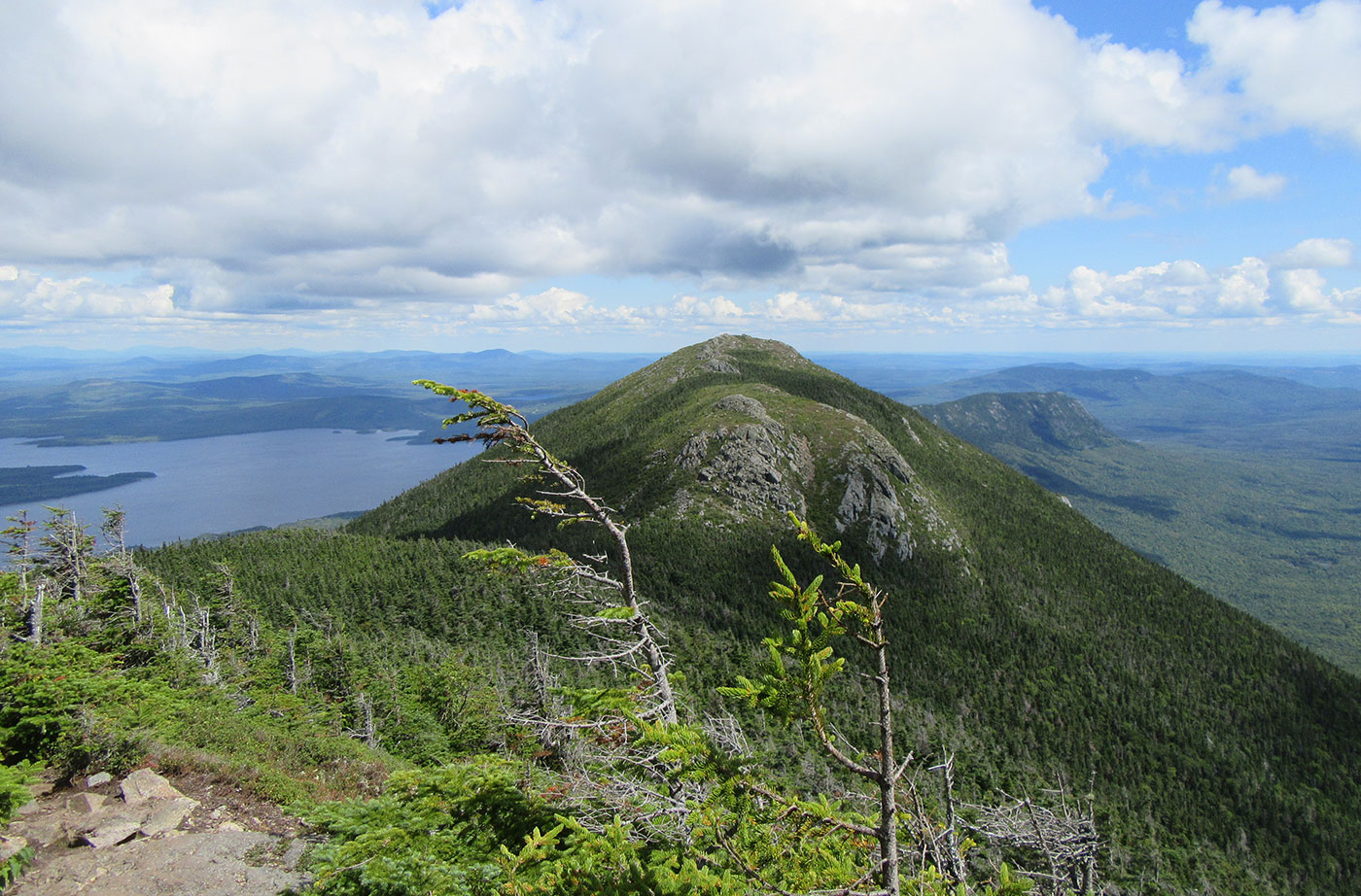
Location: Near Stratton, Franklin County Description: The Bigelow Preserve, the area of which totals 36,000 acres, is bounded on its north by Flagstaff Lake, a 20,000-acre lake, and includes all seven summits of the Bigelow Range, including 4,150-foot West Peak. The Appalachian Trail crosses through part of the Bigelow Preserve. Flagstaff Lake is also part of the Northern Read More
Explore Maine Map locations
Bradley Public Reserved Land
Location: Bradley, Penobscot County Description: The Bradley unit is comprised of four connecting lots totaling 9,277 acres and a separate 229-acre parcel known as the “Kittridge Farm” lot. The unit contains largely wetlands and peatlands, which are home to species of special concern: northern leopard frog, creeper mussel, and sedge wren. Recreational use of the Read More
Chain of Ponds Public Reserved Land
Location: Ten miles northeast of Eustis, Franklin County Description: The Chain of Ponds Public Reserved Land parcel is comprised of four ponds. Natanis, Bog, Long, and Lower ponds are all connected via channels, creating the “chain.” Visitors to the ponds have the opportunity to recreate on the ponds, including camping on the shores and observing Read More
Chamberlain Lake Public Reserved Land/Lock Dam
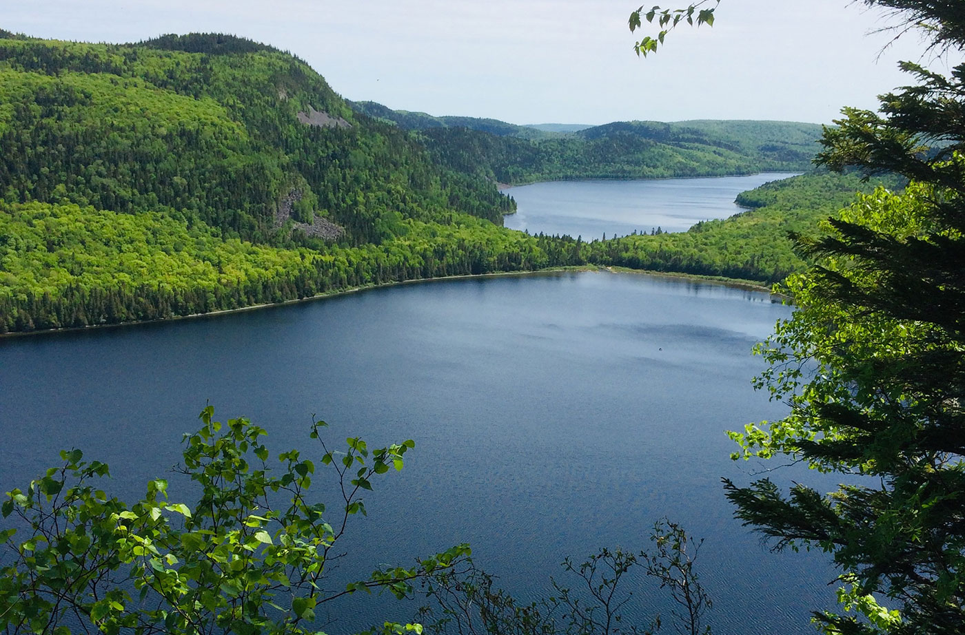
Location: In and around Township 7, Range 12 WELS, 30 miles northwest of Baxter State Park, Piscataquis County Description: Chamberlain Lake Public Reserved Land is a group of parcels along the large lakes that form the southern end of the Allagash Wilderness Waterway. The parcels include the 2,890-acre Chamberlain Lake Ecological Reserve. Ecological Reserves serve to protect Read More
Cutler Coast Public Reserved Land
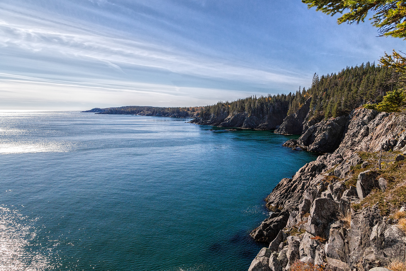
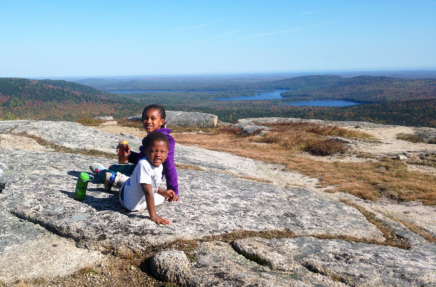
Location: Cutler, 20 miles east of Machias, Washington County Description: The varied landscape of the 12,234-acre Cutler Coast Public Reserved Land unit shifts between peatlands, woodlands, and blueberry barrens along the cliffs of the stunning “Bold Coast,” overlooking the Bay of Fundy. The parcel includes 5,216 acres that are part of the state’s Ecological Reserve System due Read More
Dead River Public Reserved Land
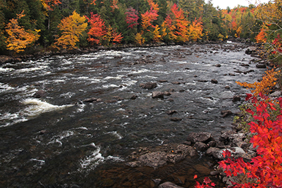
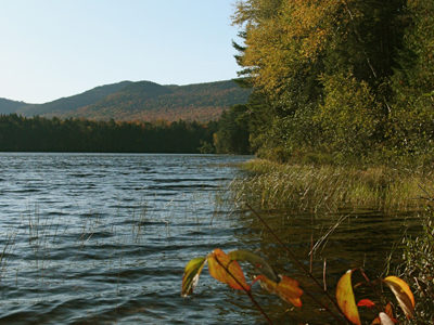
Location: In and around Dead River Township, on the northern shore of Flagstaff Lake, Somerset County Description: The Dead River Public Reserved Land parcel is located on the northern shores of Flagstaff Lake. The parcel contains a popular fishing and camping spot called The Big Eddy below Long Falls Dam, as well as a number Read More
Deboullie Public Reserved Land
Location: Township 15, Range 9 WELS, about 30 miles southwest of Fort Kent, Aroostook County Description: Deboullie is the French word for “rock slide.” The 21,871-acre Deboullie Public Reserved Land unit is named for the rock slides found on the low, rugged mountains located on the southeastern corner quarter of the unit. Hikers enjoy exploring Deboullie Mountain’s historic Read More
Dodge Point Public Reserved Land
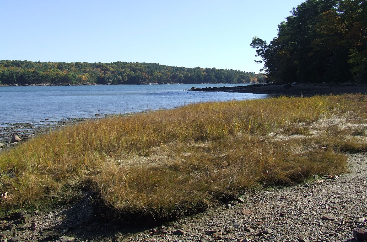
Location: Near Newcastle, in Lincoln County Description: The Dodge Point Public Reserved Land unit is 521 acres that includes more than 8,000 feet of gorgeous riverfront on the Damariscotta River. This land includes sandy beaches, ponds, and streams. Visitors enjoy the different trails on the unit, including the Shore Trail, which provides views of the Read More
Donnell Pond Public Reserved Land
Location: In and around Township 10 SD, 12 miles east of Ellsworth, Hancock County Description: The Donnell Pond Public Reserved Land unit includes mountains, pristine lakes, and remote ponds all spread out over 14,000 acres in eastern Maine. There are sites for camping along the pond’s beaches, and great options for those who enjoy paddling. Read More