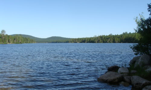
Location: Just south of Lakeville, northern Hancock County Description: The Duck Lake unit is comprised of more than 27,000 acres, just to the east of Grand Lake Stream. The unit contains Duck Lake and Gassahias Lake, which offer fishing, boating, swimming, camping, and snowmobiling opportunities. An Ecological Reserve has been established on the eastern portion of the unit Read More
Explore Maine Map locations
Eagle Lake Public Reserved Land
Location: Township 16, Range 6 WELS, next to the town of Eagle Lake, about 15 miles south of Fort Kent, Aroostook County Description: The Eagle Lake Public Reserved Land unit spans 24,083 acres on the eastern half of Eagle Lake, an expansive body of water that is enjoyed by pleasure boaters, anglers, and campers. The Read More
Four Ponds Public Reserved Land
Location: South of Rangeley, Franklin County Description: The Four Ponds Public Reserved Land unit is 6,000 acres in size and located east of Mooselookmeguntic Lake. The unit is popular for swimming, fishing, canoeing, and kayaking. Part of the Appalachian Trail cuts through, and there are campgrounds at Little Swift River Pond and Sabbath Day Pond. Snowmobilers Read More
Gero Island Public Reserved Land
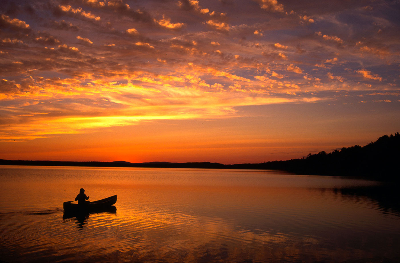
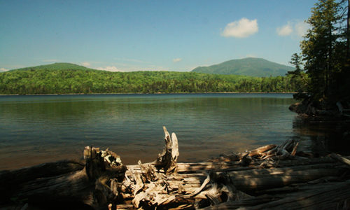
Location: Chesuncook Township, Piscataquis County Description: The Gero Island Public Reserved Land unit is comprised of the majority of Gero Island in Chesuncook Lake, as well as most of the historic Chesuncook Village on the mainland, southwest of the island. Chesuncook Village was settled in 1849 by Ansel A. Smith as a logging outfit. The water access Read More
Great Heath Public Reserved Land
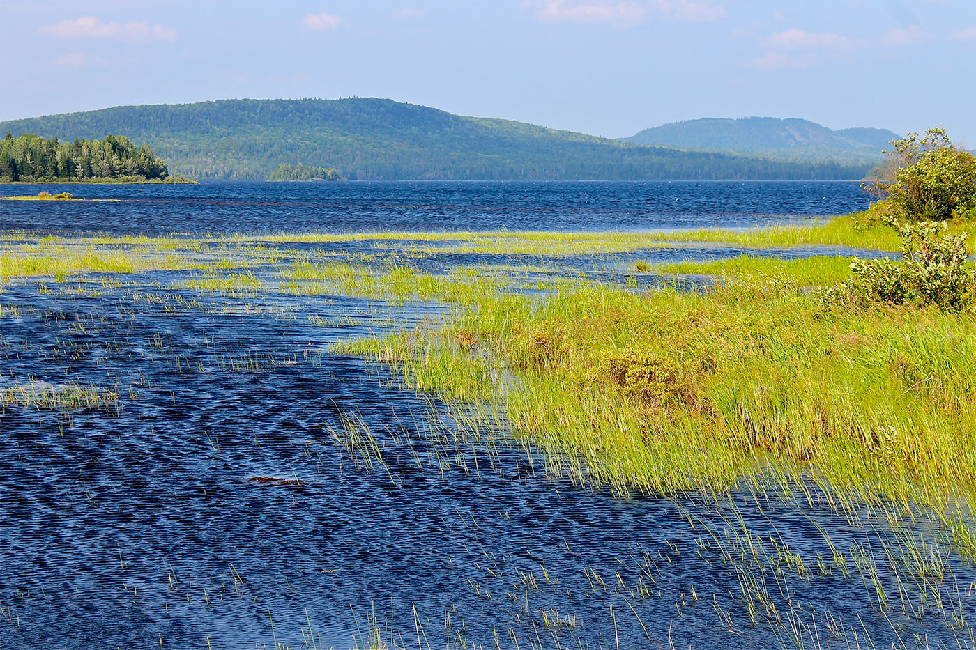
Location: In Township 18 MD, north of Cherryfield, Washington County Description: The Great Heath is one of the largest peatland systems in Maine. The entirety of the state-owned portion of the Great Heath was designated as an Ecological Reserve in 2001 to protect Maine’s biological diversity, among other purposes. It is an excellent example of a domed Read More
Holeb Public Reserved Land
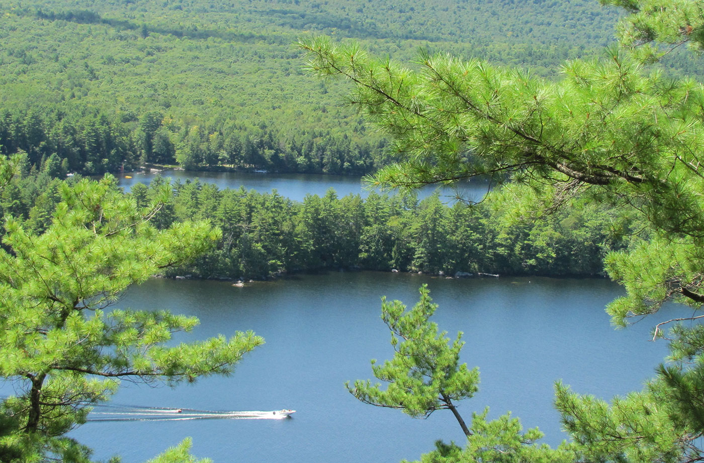
Location: 25 miles east of Rockwood, Somerset County Description: The Holeb Public Reserved Land unit is comprised of 20,000 acres of land in western Maine. Many visitors enjoy the popular three-day canoe trip through Attean Pond and the Moose River. This trip includes both Class I and II rapids and a waterfall. Visitors are often Read More
Kennebec Highlands Public Reserved Land
Location: 10 miles north of Belgrade, Kennebec County Description: At just over 6,500 acres, the Kennebec Highlands Public Reserved Land unit is the largest contiguous area of conserved land in Central Maine. The unit includes the summit of McGaffey Mountain, the tallest peak in Kennebec County, along with two other hiking trails, both of which Read More
Little Moose Public Reserved Land
Location: Moosehead Junction and Big Moose townships, just east of Greenville, Piscataquis County Description: The Little Moose unit is more than 15,000 acres in size and is a popular hiking destination. The area includes most of the Little Moose Mountain Range, which features steep slopes, rocky streams, and remote ponds. The Eagle Rock Trail is Read More
Machias River Corridor Public Reserved Land
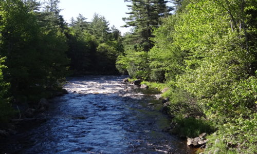
Location: Surrounding the Machias River, Washington County Description: The Machias River Corridor envelopes the Machias River, which features the country’s largest self-sustaining wild Atlantic salmon run. The greater river system also supports a wide array of wading birds, waterfowl, neotropical migrants, and grassland species. The 76-mile Machias River canoe trip is popular with experienced paddlers. Read More