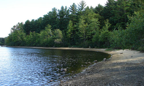
This 14-acre preserve is owned by the Androscoggin Land Trust and is a component of the Androscoggin Greenway. The property was purchased from the City of Lewiston with Land for Maine’s Future water access funds in 2007. The property contains a walking trail, two beautiful sand beaches along the Androscoggin River, and a scenic overlook. Read More
Explore Maine Map locations
Dennys River Corridor
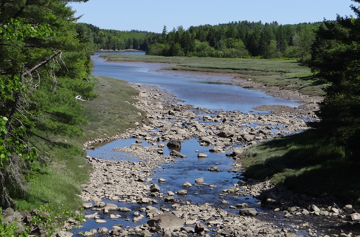
The Dennys River is rich in superlatives. Among all the Downeast salmon rivers that are rated as “outstanding” for their water quality and wildlife values, the Dennys has the richest wildlife, the most diverse riverine and riparian plant communities, and the longest stretch of river without road crossings or camps. Thanks to the efforts of Read More
Devil’s Head — St. Croix International Waterway
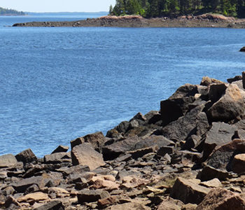
The City of Calais and the St. Croix International Waterway Commission were able to conserve the highest headland in Downeast Maine, Devil’s Head, with significant help from the Land for Maine’s Future program, the Maine Coastal Program, Maine Department of Conservation, Maine Outdoor Heritage Fund and others. Devil’s Head, which towers 340 vertical feet above the St. Read More
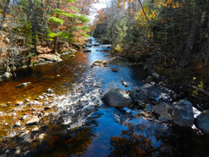
Dodge Point
Dodge Point slopes gently down from a 240-foot height of land to the Damariscotta River, where the land drops off precipitously in places–offering views downriver that extend for miles. The property is rich in ecological and historical values as well as scenic beauty. The 508-acre peninsula has old growth trees, several important plant communities, Native Read More
Ducktrap Preserve
The Land for Maine’s Future (LMF) program has helped an ambitious effort to protect all the lands bordering the Ducktrap River, buffering critical salmon spawning and rearing habitat in one of the last eight rivers in Maine with runs of native Atlantic salmon. This land protection project has met with remarkable success, thanks to the Read More
Eagle Bluff
Located in Clifton, Eagle Bluff is a beautiful, 160-acre popular local destination for rock climbing. It features more than 130 different climbing routes up its vertical granite rock face and a popular hiking trail to the top of the cliff. The cliff provides great views of Cedar Swamp Pond and Peaked Mountain. A local climber, Read More
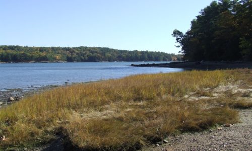
Egypt Bay
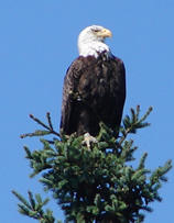
As part of a Land for Maine’s Future project, nearly a mile of shorefront along Egypt/Taunton Bays as well as the title to two small islands, aptly known as the Little Islands, was transferred to the State of Maine. The shoreline tract has historically been used by Bald Eagles for nesting, and lies in the Read More
Farm Cove Community Forest
The Farm Cove Community Forest now includes the 27,080 acres acquired through the Downeast Lakes Forestry Partnership, and the 6,628 acre Wabassus Lake Tract, for a total of 33,708 acres. View a map of the Farm Cove Community Forest on the Downeast Lakes Land Trust website. This brief description will focus on the effort to Read More
Ferry Beach State Park
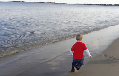
Ferry Beach State Park, named for the site where passengers were once ferried across the Saco River, offers local residents and visitors sweeping views of white sand beaches between the Saco River and Pine Point. The 117-acre day-use park has picnic tables, guided nature programs, and nature trails (that introduce visitors to the park’s special Read More

