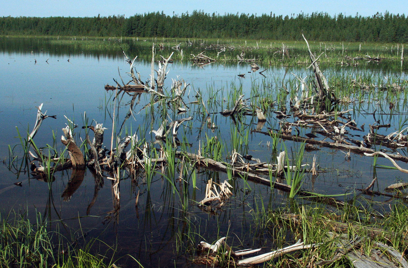
Location: In Township 18 MD, north of Cherryfield, Washington County Description: The Great Heath is one of the largest peatland systems in Maine. The entirety of the state-owned portion of the Great Heath was designated as an Ecological Reserve in 2001 to protect Maine’s biological diversity, among other purposes. It is an excellent example of a domed Read More
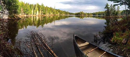
Backcountry Camping
Backcountry camping refers to camping done in locations that aren't near roads. This type of camping is done in locations that are not accessible by motorized access, usually they are reached by foot or canoe/kayak, and are often hours from any development.
Little Moose Public Reserved Land
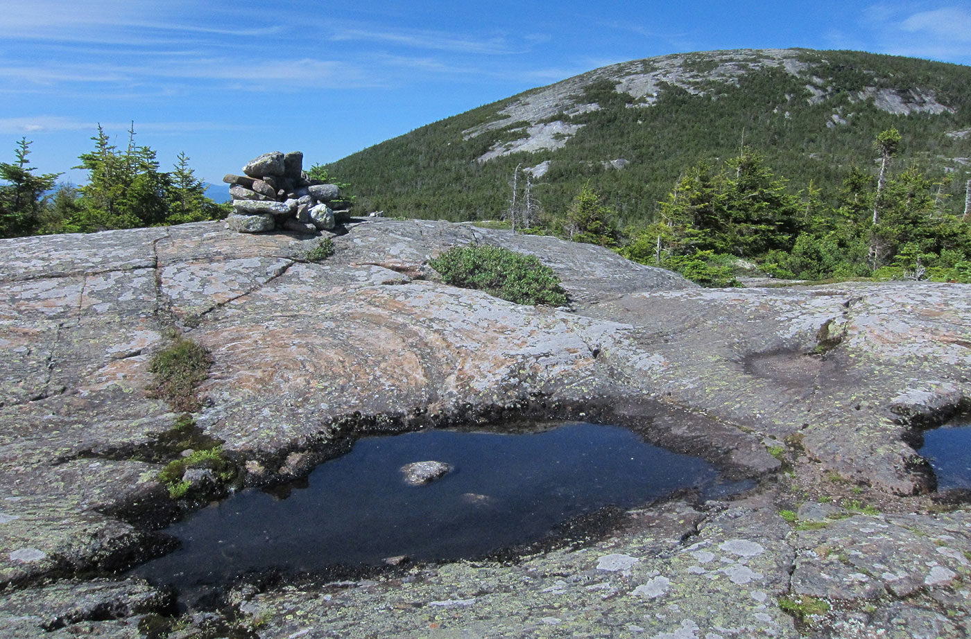
Location: Moosehead Junction and Big Moose townships, just east of Greenville, Piscataquis County Description: The Little Moose unit is more than 15,000 acres in size and is a popular hiking destination. The area includes most of the Little Moose Mountain Range, which features steep slopes, rocky streams, and remote ponds. The Eagle Rock Trail is Read More
Machias River Corridor Public Reserved Land
Location: Surrounding the Machias River, Washington County Description: The Machias River Corridor envelopes the Machias River, which features the country’s largest self-sustaining wild Atlantic salmon run. The greater river system also supports a wide array of wading birds, waterfowl, neotropical migrants, and grassland species. The 76-mile Machias River canoe trip is popular with experienced paddlers. Read More
Mahoosuc Public Reserved Land
Location: West of Newry, Oxford County Description: The Mahoosuc Public Reserved Land unit includes the entire Mahoosuc Range, which features some of Maine’s most challenging and beautiful mountains, including the 4,180-foot Old Speck. A receding glacier 12,000 years ago created the Mahoosuc Range and what is commonly known to be 12 of the most difficult miles of Read More
Nahmakanta Public Reserved Land
Location: West of Millinocket, Penobscot County Description: The Nahmakanta unit is 43,000 acres and includes forest, mountains, and 24 great ponds. Fishing is popular on the great ponds. Pollywog Gorge is a popular destination for visitors to the land, with a mile-high drop down to the scenic gorge. Nine miles of the Appalachian Trail cross through the Read More
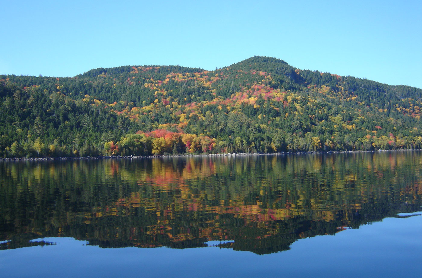
Richardson Public Reserved Land
Location: Northern Oxford County Description: The Richardson Public Reserved Land unit’s 22,000 acres of lakes and ponds are surrounded by mountains, forests, and beach flats. The unit is located in the Rangeley Lakes region and includes much of the shoreline of Mooselookmeguntic and Richardson lakes. Mooselookmeguntic and Richardson lakes are also a part of the Read More
Rocky Lake Public Reserved Land
Location: Near East Machias, Washington County Description: The 11,000-acre Rocky Lake Public Reserved Land unit borders three lakes near East Machias and provides opportunities for boating, camping, and fishing in a wildlife-rich area. The unit is home to nesting Bald Eagles, white-tailed deer, snowshoe hare, bobcat, coyote, black bear, and even fisher. The East Machias River, four Read More
Round Pond Public Reserved Land
Location: Township 13, Range 12 WELS, Aroostook County Description: Round Pond is a 20,000-acre public reserved land unit that surrounds a portion of the Allagash Wilderness Waterway. Round Pond itself is in fact a wide section of the Allagash River, located just before the river heads toward the Saint John River. From the eastern shore Read More
Scraggly Lake Public Reserved Land
Location: Township 7 Range 8 WELS, northeast of Patten, Penobscot County Description: Scraggly Lake is located at the center of this 10,000-acre public reserved land unit, located just northeast of Baxter State Park. Scraggly Lake includes a campground and boat launch for visitors, and nearby Ireland Pond offers a more remote recreational experience. From Scraggly Read More