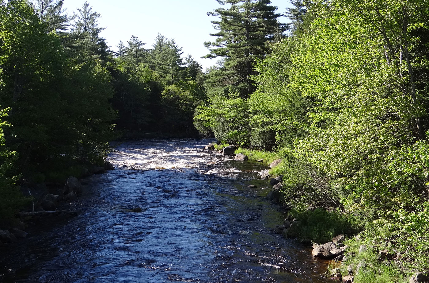
The Machias River ranks with the St. John, the Allagash, and the Penobscot as one of Maine’s most scenic and outstanding paddling rivers. Over the course of 76 miles, canoeists enjoy an array of water courses–from lakes and swamps to rapids and a waterfall. The river is rich in brook trout, bass, and pickerel, and each spring Read More
Backcountry Camping
Backcountry camping refers to camping done in locations that aren't near roads. This type of camping is done in locations that are not accessible by motorized access, usually they are reached by foot or canoe/kayak, and are often hours from any development.
Marshall Island
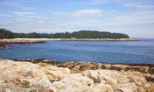
With generous support from the Land for Maine’s Future program and private donors, Maine Coast Heritage Trust (MCHT) acquired all of Marshall Island, which was the largest remaining undeveloped and unprotected island on the nation’s Eastern Seaboard. Marshall is located in Jericho Bay, between Mount Desert Island and Isle au Haut. With 981 acres of Read More
Mattawamkeag Lake
With funding support from the Land for Maine’s Future program, the Maine Bureau of Parks and Lands acquired an easement and two fee parcels protecting 3,026 acres around the southern end of Mattawamkeag Lake. The easement allows sustainable forestry while preventing future development and guaranteeing continued pedestrian access for fishing, swimming, and camping. The protected Read More
Mattawamkeag River
As part of a complex multi-property purchase, the Land for Maine’s Future program funded State acquisition of 4,119 acres of woodland, wetlands, and cedar swamp along the Mattawamkeag River east of Kingman and 1,204 acres along 4 miles of its tributary, Mattagodus Stream. The highly productive wetlands that characterize both properties offer outstanding habitat for Read More
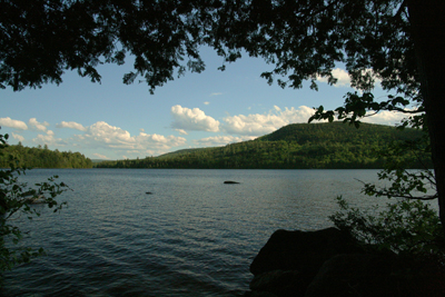
Mount Kineo
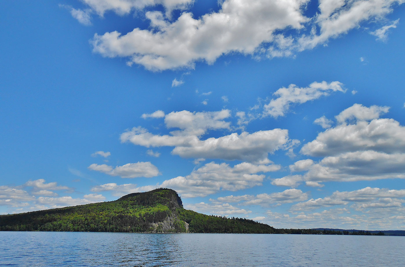
Mount Kineo, with 700-foot cliffs rising straight up from Moosehead Lake, is an unforgettable setting that has lured people for centuries. Indigenous peoples once traveled great distances to Mt. Kineo, relying on its flint-like rhyolite to make stone tools. In recent centuries, Kineo’s spectacular scenery and the amenities of Moosehead Lake drew “rusticators” and summer Read More
Nahmakanta Public Reserve
Nahmakanta, the State’s largest Public Reserve at more that 43,000 acres, offers backcountry visitors a roadless forest of more than 8,000 acres, a 12-mile stretch of the Appalachian Trail, lakeside and remote campsites, and 24 lakes and ponds with more than 50 miles of combined shore frontage. In 1990, the Land for Maine’s Future program Read More
Nicatous and West Lakes
By combining conservation easements on working timberland with public land acquisition, the State protected 22,370 acres of contiguous forest with 30 miles of undeveloped shoreline on two lakes and five ponds. The centerpiece of this property is 5,100-acre Nicatous Lake, widely considered to be one of Maine’s most beautiful water bodies with its pristine sand Read More
Amherst Mountain Community Forest, Public Reserved Land
Description: The Amherst Mountain Community Forest is part of the Public Reserved Land system, but unlike other units, it is managed jointly with the town of Amherst. The 4,974-acre parcel is home to brook trout, white-tailed deer, black bear, Peregrine Falcons, Ruffed Grouse (partridge), and American Woodcock. The area contains two popular hiking trails, Ducktail Read More
Bigelow Preserve Public Reserved Land
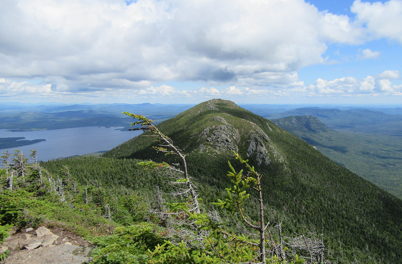
Location: Near Stratton, Franklin County Description: The Bigelow Preserve, the area of which totals 36,000 acres, is bounded on its north by Flagstaff Lake, a 20,000-acre lake, and includes all seven summits of the Bigelow Range, including 4,150-foot West Peak. The Appalachian Trail crosses through part of the Bigelow Preserve. Flagstaff Lake is also part of the Northern Read More