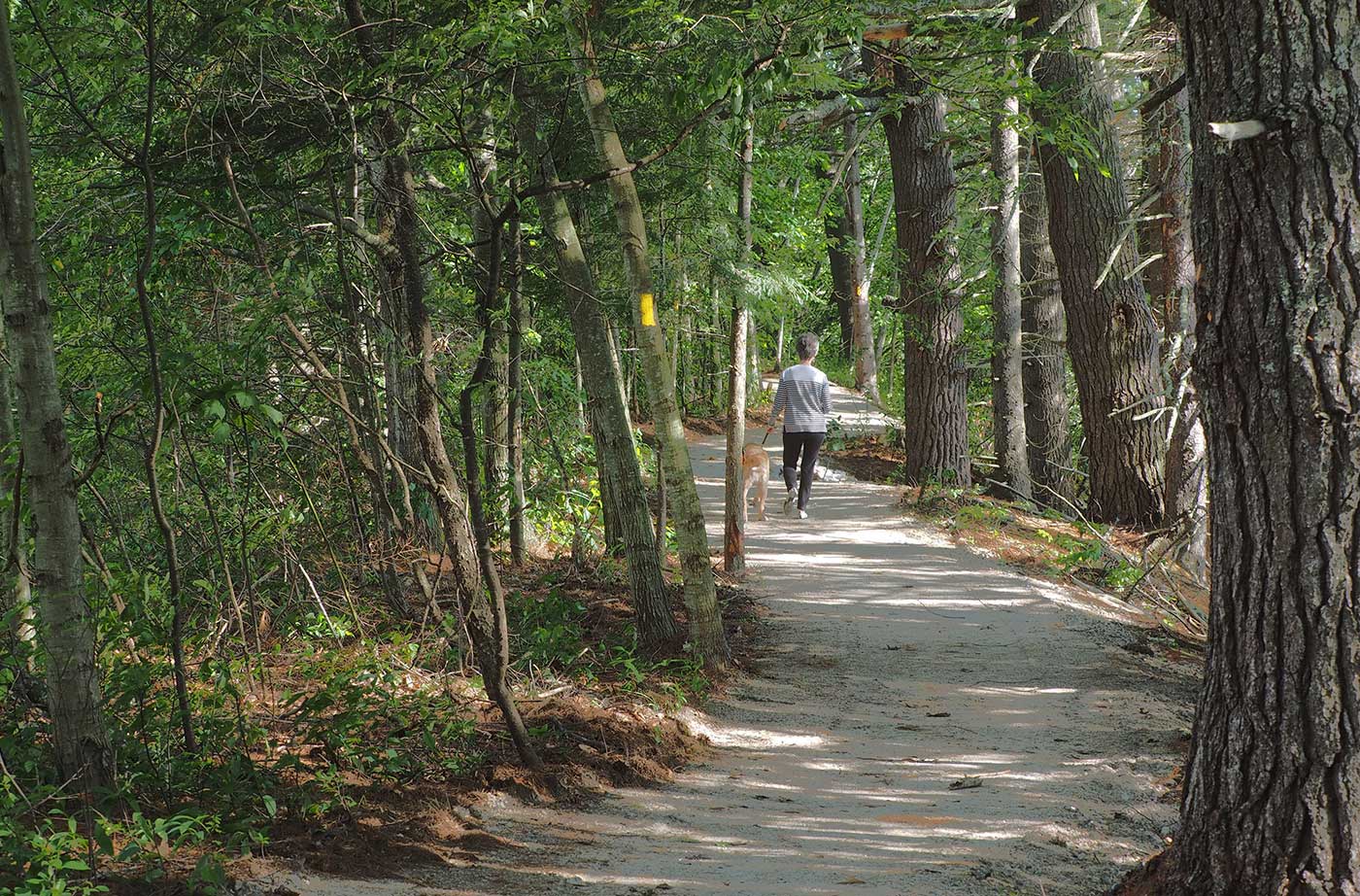
The Valentine Farm property, including a house, was given to the Mahoosuc Land Trust from a local resident. This property became the headquarters of the Mahoosuc Land Trust in 2016. Valentine Farm’s universally accessible trail has two 0.6-mile loops, for a total of 1.2 miles to explore. One loop brings you right down to the Read More
Oxford County
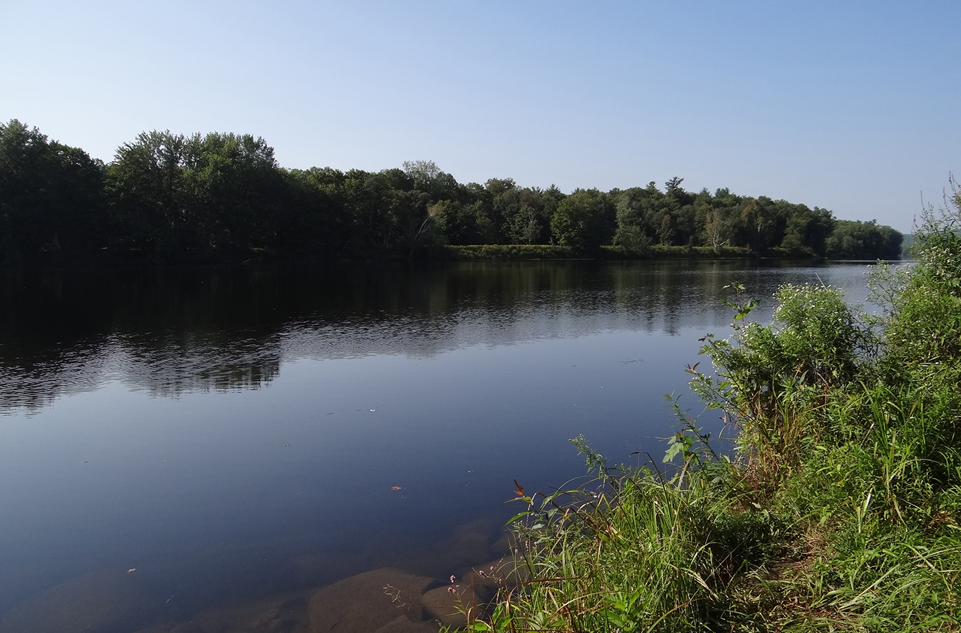
South Pond Conservation
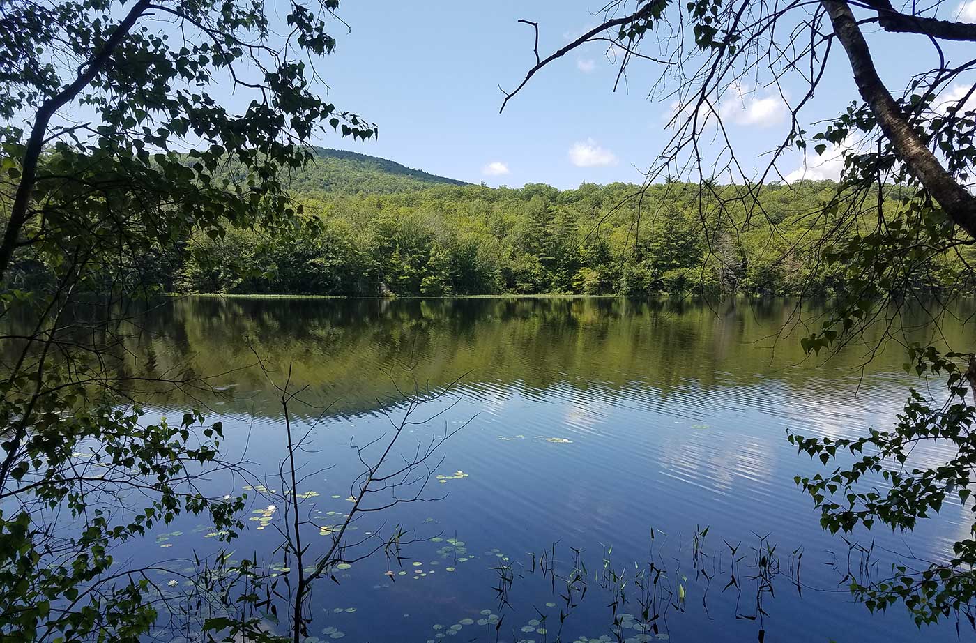
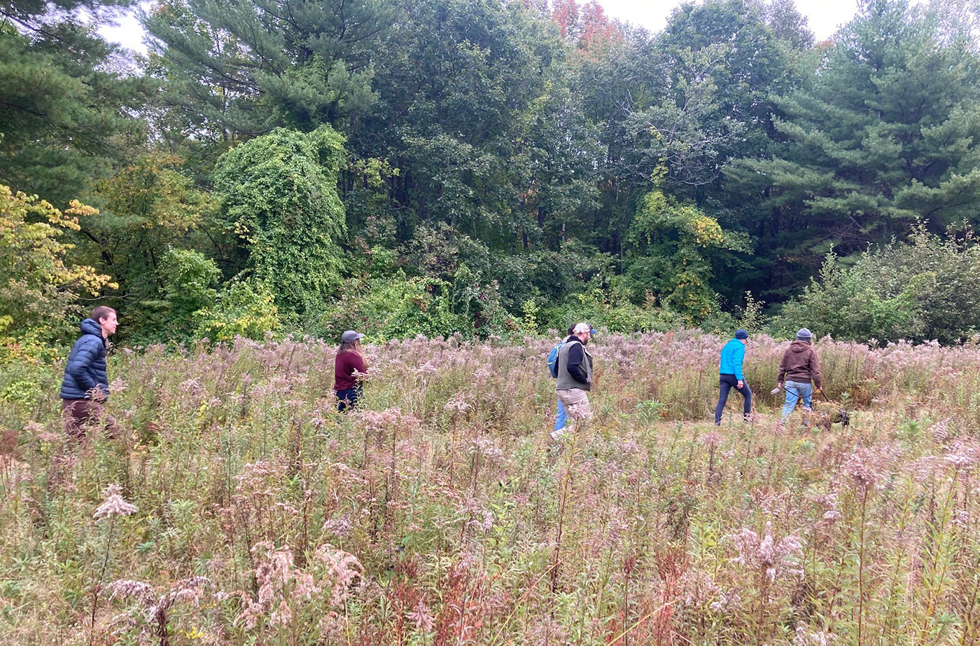
South Pond provides a range of habitats suited to birding, with migratory bird, wetland, and wildlife areas. In 2004, Round River Ecology identified 54 bird species at the site in a single day. The pond is sandwiched between two trails—Lowell Trail and Packard Trail—offering additional walking and nature observation opportunities. Closest Town: Buckfield, Oxford County Activities: Read More
Stowe Mountain
Stowe Mountain, some would say, is Maine at its finest: deep forest, ridgeline hiking, and incredible summit views. It contains more than 3,000 acres of working forest, and lies in the Mahoosuc Mountains, bordering 33,000 acres of State conservation lands and includes four miles of the Grafton Loop Trail. Because of the property’s proximity to Read More
Sucker Brook
In 2006, the Greater Lovell Land Trust secured Sucker Brook Preserve, 200 acres of wetland and trails off Horseshoe Pond Road in Lovell with help from the Land for Maine’s Future program, the U.S Fish and Wildlife Service, and more than 200 donors. Since then, an additional 108 acres have been added to the Preserve. Read More
Roberts Farm Preserve
Roberts Farm Preserve is a lovely 165-acre property located just south of Lake Pennesseewassee in Norway, Maine. Formerly the site of a dairy farm, the property now houses a 7.5-mile trail network that winds through pastures, orchards, streams, stone walls, and woodlands. Western Foothills Land Trust purchased Roberts Farm in 2009 with help from the Read More
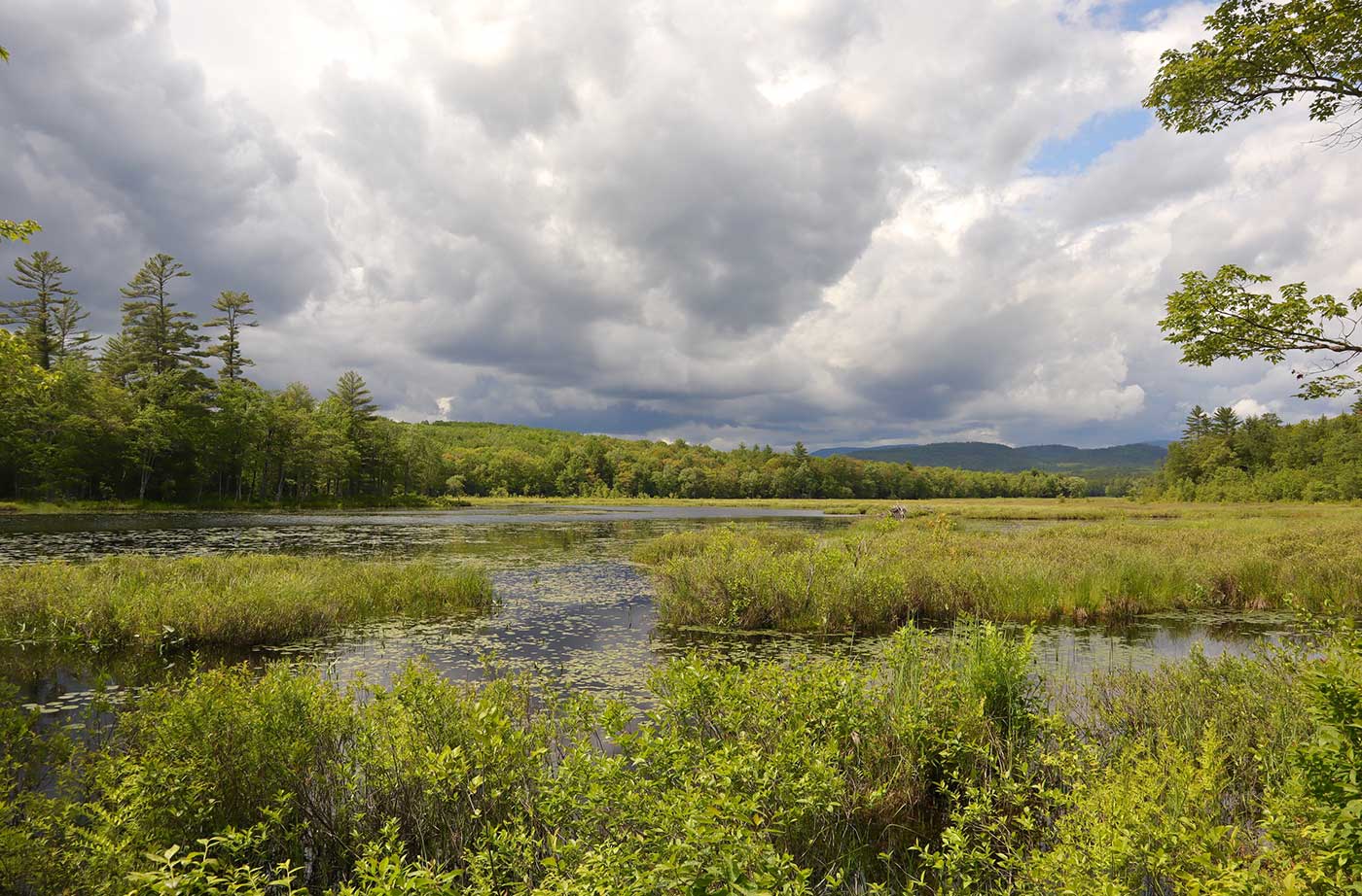
Crooked River Forest
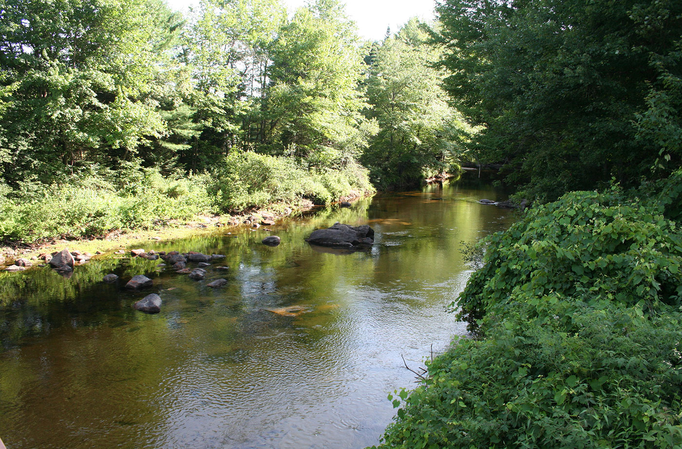
Grants from the Land for Maine’s Future program in 2016 helped enable the purchase of several forested parcels near the Crooked River in Harrison and Otisfield. The largest of these is Loon Echo Land Trust’s Intervale parcel, which contains more than a mile of frontage on the river and some easy trails down to the Read More
Grafton Notch Conservation Project
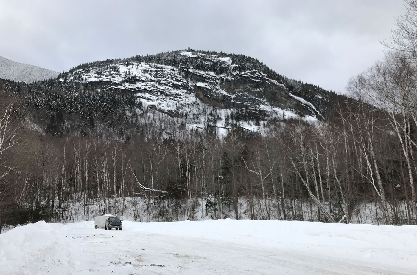
In 2007, the Grafton Notch Conservation Project was completed to preserve this parcel of pristine, heavily wooded land that is located in one of New England’s top hiking areas. The property encompasses the southeast slope of Old Speck Mountain, four miles of the Grafton Notch Loop Trail, and a popular snowmobile path. These 3,688 acres Read More
Rumford Whitecap Mountain Preserve
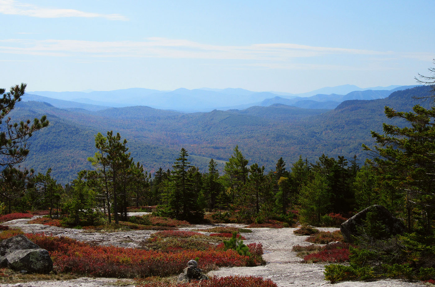
This Mahoosuc Land Trust project offers nature lovers with a unique opportunity to explore two very different ecological systems in a single visit. The Rumford Whitecap Mountain Preserve includes two trails of moderate difficulty that lead right up to the site’s signature bald summit. Hikers who reach this 2,412’ peak are rewarded with an extraordinary Read More
Androscoggin River Access
The Maine Department of Inland Fisheries & Wildlife (IF&W) purchased a 51-acre property in Canton bordering the Androscoggin River that provides a trailered boat launch, hand-carry access, and potentially a riverside picnic area. The site lies midway between existing launch sites at Riley Dam and Harvey Brook, providing needed access to the river along the Read More