By Lucas St. Clair, Special to the BDN Bangor Daily News op-ed With President Barack Obama’s proclamation, Maine is now home to our country’s newest national monument. While I know that the journey to this point has, at times, been contentious, all of us who care about the Katahdin region can work together to make Read More
Hiking
We are fortunate that Maine has hundreds of miles of trails to explore. These locations are great for all levels of hiking—from winding trails along Maine's coast to high mountain peaks in western Maine and beyond. Always check the weather before heading out, and let a friend or family member know where you are headed if you are hiking alone. Don't forget to check in when you return. Enjoy your time exploring Maine's public lands!
‘Is There a More Glorious Place on Earth Than This?’
by Lou Ureneck Boston Globe op-ed I made my first trip to Maine’s north woods when I was 15. It was a late November deer-hunting trip in the autumn of 1965. I didn’t shoot a deer, but the immensity and wildness of the place left an impression on me that has lasted a lifetime. I Read More
Explore Maine: Maine’s National Wildlife Refuges and Wilderness Areas
Exploring Maine’s Spectacular Federal Lands Recently, a young man told me that he, his wife, and two kids live in a small house on a small lot in the Midcoast. He loves to get outside and said, “Public lands are all I’ve got.” At NRCM, we recognize the importance of quality time spent outside. Local Read More
Richardson Public Reserved Land
Location: Northern Oxford County Description: The Richardson Public Reserved Land unit’s 22,000 acres of lakes and ponds are surrounded by mountains, forests, and beach flats. The unit is located in the Rangeley Lakes region and includes much of the shoreline of Mooselookmeguntic and Richardson lakes. Mooselookmeguntic and Richardson lakes are also a part of the Read More
Round Pond Public Reserved Land
Location: Township 13, Range 12 WELS, Aroostook County Description: Round Pond is a 20,000-acre public reserved land unit that surrounds a portion of the Allagash Wilderness Waterway. Round Pond itself is in fact a wide section of the Allagash River, located just before the river heads toward the Saint John River. From the eastern shore Read More
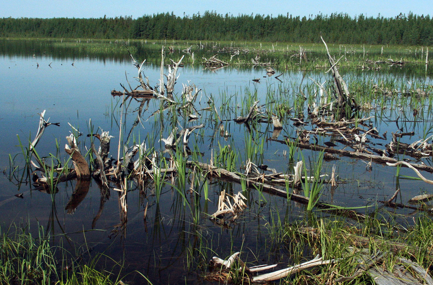
Salmon Brook Lake Bog Public Reserved Land
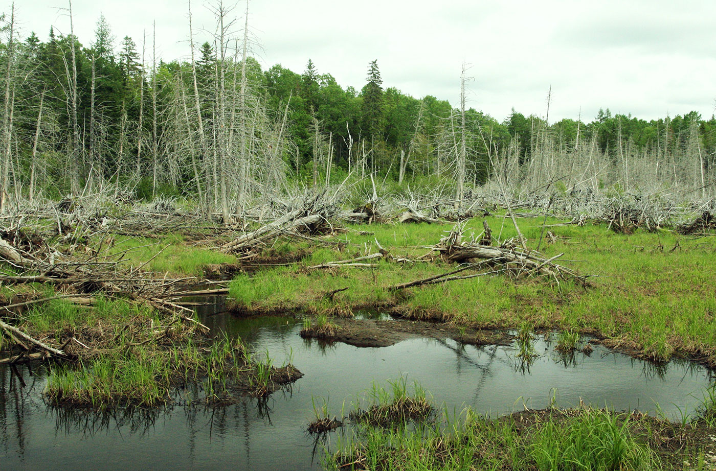
Location: Perham, Aroostook County Description: The Salmon Brook Lake Bog Public Reserved Land is a 1,857-acre unit, of which 1,053 acres are designated as an Ecological Reserve. It is located in an area where limestone bedrock has created relatively high pH soils. Such conditions support significant natural features including circumneutral fenspeatland vegetation dominated by sedges and/or shrubs Read More
Scopan Public Reserved Land
Location: Township 11, Range 4, between Presque Isle and Ashland, Aroostook County Description: The Scopan unit contains some of the most rugged terrain in Aroostook County, including 1,400-foot high Scopan Mountain. From Scopan Mountain hikers can view Katahdin and Alder Lake, and can enjoy seasonal waterfalls. The 16,700-acre unit also contains wetlands that are frequented Read More
Seboomook Lake Public Reserved Land
Location: North of Rockwood, Piscataquis County Description: The Seboomook Lake lands are 41,436 acres in size and surround Canada Falls and Seboomook Lake. The lands offer remote recreation opportunities, including hunting, and fishing for wild brook trout and landlocked salmon. The lands mark the beginning of the Penobscot River Corridor and the South Branch of Read More
Tumbledown Public Reserved Land
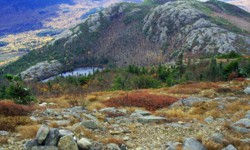
Location: West of Weld, in Franklin County Description: The Tumbledown Public Reserved Land unit is 10,000 acres of mountainous trails and several peaks with dramatic views of surrounding Franklin County. The trails vary in difficulty, but the popular Tumbledown Mountain Trail leads you to Tumbledown Pond, a scenic pond atop the mountain where hikers often Read More