Location: 25 miles east of Rockwood, Somerset County Description: The Holeb Public Reserved Land unit is comprised of 20,000 acres of land in western Maine. Many visitors enjoy the popular three-day canoe trip through Attean Pond and the Moose River. This trip includes both Class I and II rapids and a waterfall. Visitors are often Read More
Hiking
We are fortunate that Maine has hundreds of miles of trails to explore. These locations are great for all levels of hiking—from winding trails along Maine's coast to high mountain peaks in western Maine and beyond. Always check the weather before heading out, and let a friend or family member know where you are headed if you are hiking alone. Don't forget to check in when you return. Enjoy your time exploring Maine's public lands!
Kennebec Highlands Public Reserved Land
Location: 10 miles north of Belgrade, Kennebec County Description: At just over 6,500 acres, the Kennebec Highlands Public Reserved Land unit is the largest contiguous area of conserved land in Central Maine. The unit includes the summit of McGaffey Mountain, the tallest peak in Kennebec County, along with two other hiking trails, both of which Read More
Little Moose Public Reserved Land
Location: Moosehead Junction and Big Moose townships, just east of Greenville, Piscataquis County Description: The Little Moose unit is more than 15,000 acres in size and is a popular hiking destination. The area includes most of the Little Moose Mountain Range, which features steep slopes, rocky streams, and remote ponds. The Eagle Rock Trail is Read More
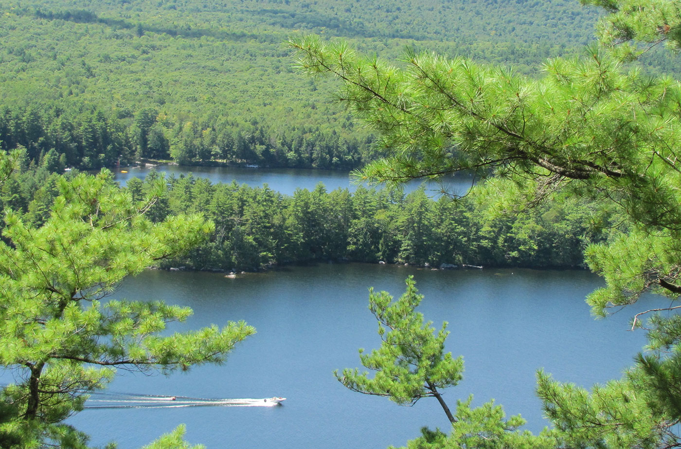
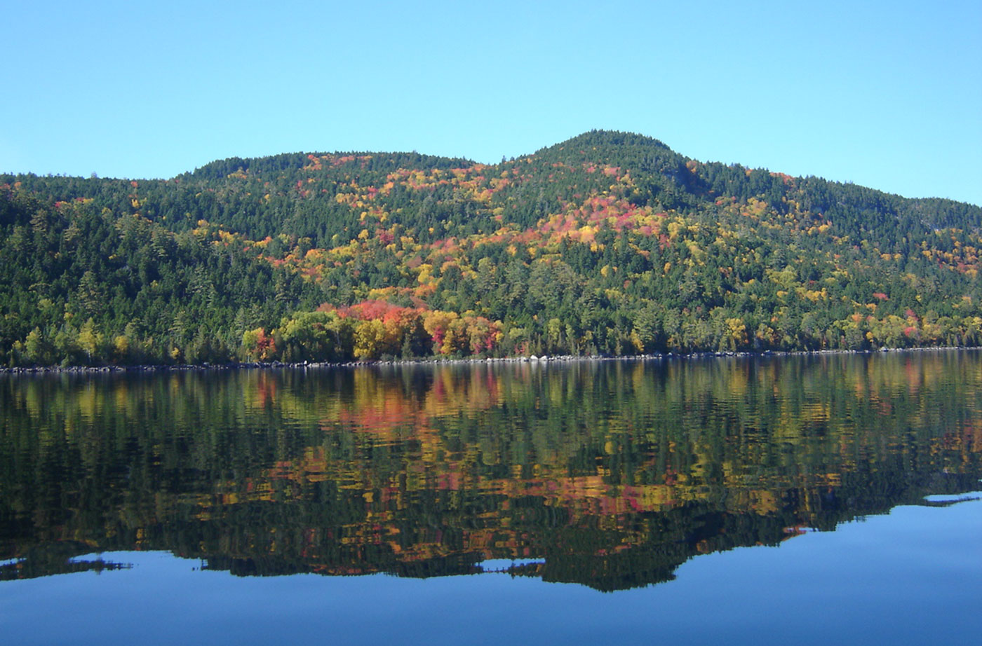
Moosehead Lake Public Reserved Land
Location: North of Greenville, Piscataquis County Description: Moosehead is Maine and New England’s largest lake. Moosehead was formed by a mile-thick receding glacier almost 18,000 years ago. Wabanaki Native Americans have lived in the region for the past 1,000 years and place great spiritual significance in Mount Kineo, on one of the lake’s islands. Named Read More
Mount Abraham Public Reserved Land
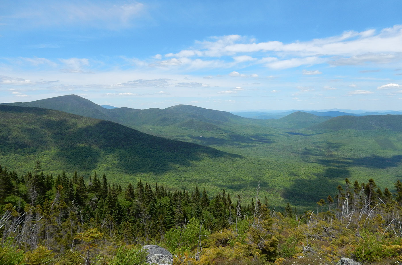
Location: Mount Abram Township, 20 miles south of Carrabassett Valley, Franklin County Description: The Mount Abraham Public Reserved Land unit is 6,214 acres with 4,033 of those acres protected as an Ecological Reserve. The Ecological Reserve System protects Maine’s biological diversity, among other purposes. The state’s tallest mountain ash is on Mount Abraham, at an impressive Read More
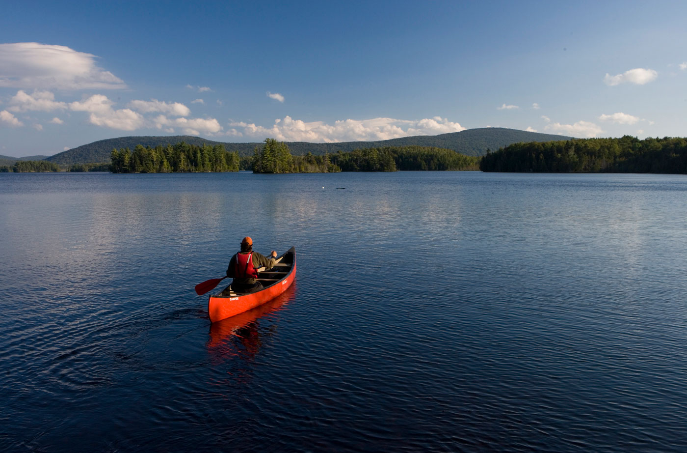
Nahmakanta Public Reserved Land
Location: West of Millinocket, Penobscot County Description: The Nahmakanta unit is 43,000 acres and includes forest, mountains, and 24 great ponds. Fishing is popular on the great ponds. Pollywog Gorge is a popular destination for visitors to the land, with a mile-high drop down to the scenic gorge. Nine miles of the Appalachian Trail cross through the Read More
Pineland Public Reserved Land
Location: Gray and New Gloucester, Cumberland County Description: An oasis of undeveloped land ideal for outdoor recreation, the Pineland Public Reserved Land unit located in Gray-New Gloucester is 600 acres of forest and fields. The hilly area is ideal for hikers who want to explore one of two trails conveniently located off Route 231. The Read More
North Woods Monument Will Bring New Energy, People to Region
By Lucas St. Clair, Special to the BDN Bangor Daily News op-ed With President Barack Obama’s proclamation, Maine is now home to our country’s newest national monument. While I know that the journey to this point has, at times, been contentious, all of us who care about the Katahdin region can work together to make Read More
‘Is There a More Glorious Place on Earth Than This?’
by Lou Ureneck Boston Globe op-ed I made my first trip to Maine’s north woods when I was 15. It was a late November deer-hunting trip in the autumn of 1965. I didn’t shoot a deer, but the immensity and wildness of the place left an impression on me that has lasted a lifetime. I Read More