When a timber company with lands along the Androscoggin River began to divest itself of its Maine holdings in the late 1980s, local residents grew concerned that the woods they had long enjoyed for traditional recreation might be subdivided and developed. They circulated petition drives, created a video about the property, and sought help from Read More
Dog Walking
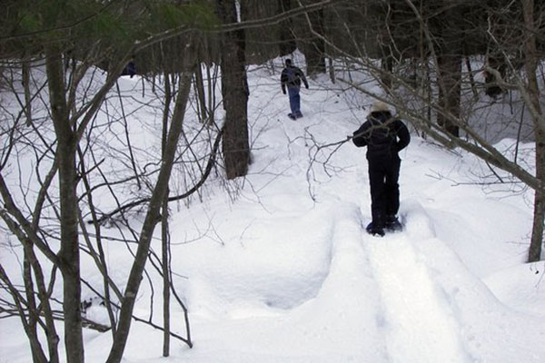
Humans enjoy getting out to explore Maine's environment—but so do our four-legged friends! Taking a walk with your dog on one of Maine's public lands is great exercise for you, and for your pet. Keeping your dog active will help work off some energy and keep their muscles in shape. These locations allow dogs, but Maine has a leash law, so be sure you have your dog leashed or harnessed as you head out to explore. Also be sure to have plenty of fresh water for them during and after your hike.
Aroostook Valley Trail
For half a century, freight and passenger cars ran a regular service through this rural region. The last freight service ended by 1960 and the rail lines were abandoned for decades. Community members saw the conversion of these rail beds into multi-use trails as a means to meet the recreational and fitness needs of local residents, lure Read More
Beech Hill
A short walk up Beech Hill rewards one with panoramic views of the Midcoast, stretching from the Georges River Valley out to Monhegan Island and east to Mount Desert Island. Generations of local residents have frequented Beech Hill–enjoying family hikes and picnics, blueberry-picking, and quiet reflection in an inspiring setting. This cherished community landmark is Read More
Black Brook Preserve
Of all the towns in rapidly growing Cumberland County, Windham ranks second in percentage population increase over the past three decades. Many former farms and woodlands have sprouted housing developments and it looked as if this 105-acre property in the heart of town would be the next to go. The land, between three heavily traveled Read More
Blackstrap Hill and Wilshore Farm
At 400 feet, Blackstrap Hill is one of the highest points in Cumberland County. The hill is covered in a mix of conifers and hardwoods, with notable stands of rare black birch, mature hemlock and old-growth trees (including a white oak 14 feet in circumference!). Blackstrap Hill’s wooded slopes are visible for miles, a welcome Read More
Bradbury-Pineland Corridor

The State owns two major tracts of public land in eastern Cumberland County, both within 40 minutes of Maine’s two largest urban areas – Pineland Public Reserved Land (600 acres) and Bradbury Mountain State Park (800 acres). These two resources are located only three miles apart, and the trail corridor and park expansion created to link them with Read More
Crooked Farm
Crooked Farm, lying in a secluded setting along the Pemaquid River, supports an unusual diversity of plants and animals due to varied habitats–from wetlands, fields and forests to high knolls and ravines. Along its 1.27 miles of river frontage, both warm and cold water species of game fish spawn. The wetlands and uplands offer an Read More
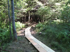
Cutler Coast
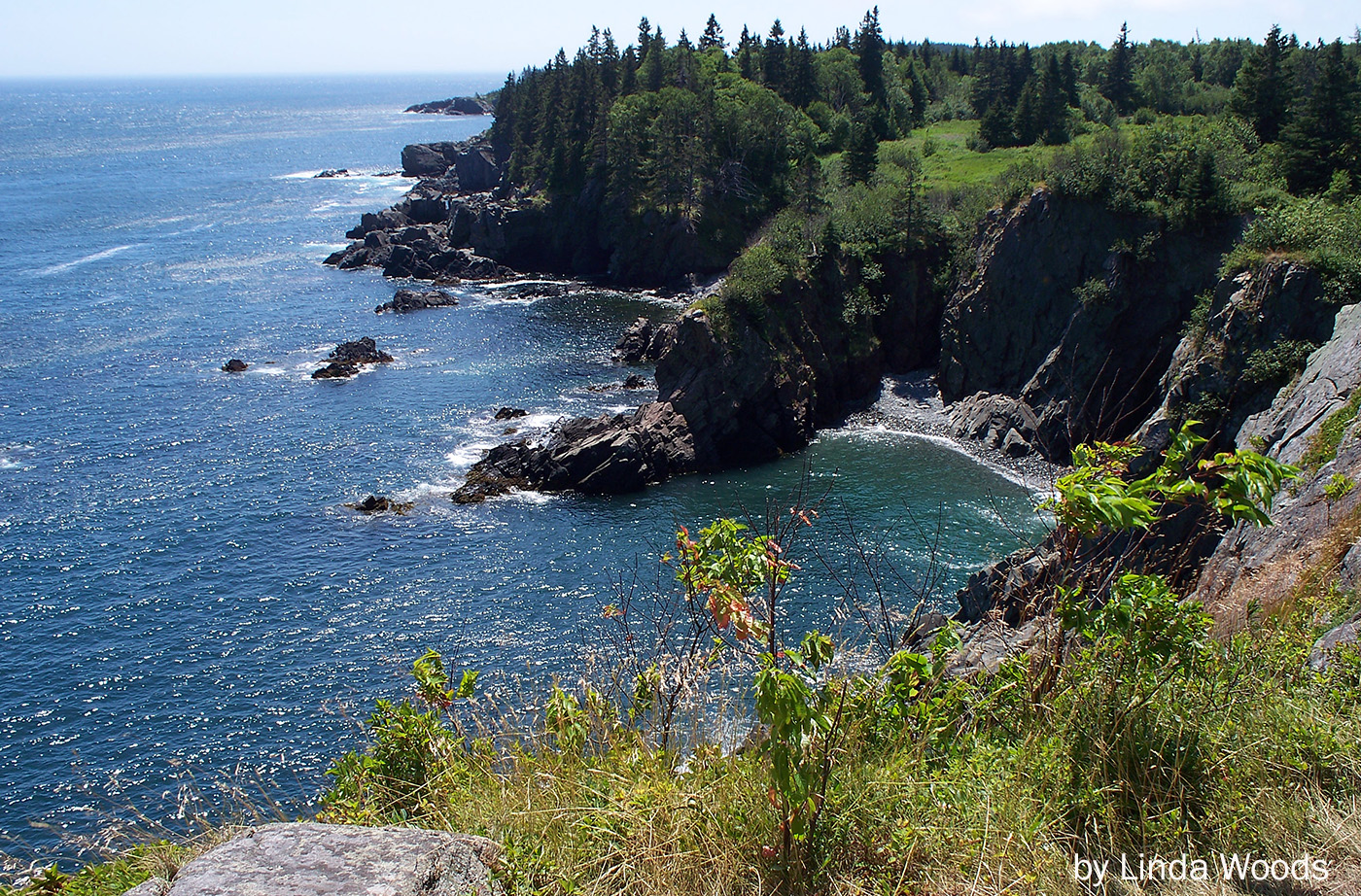
When this 2,100-acre stretch of Maine’s Bold Coast went on the market in 1989, conservation groups moved quickly to ensure its protection. Maine Coast Heritage Trust and The Conservation Fund coordinated purchase of the Cutler Coast property and an additional 8,900 acres of woodland and grasslands in the towns of Cutler and Whiting. From them, Read More
Dennys River Corridor
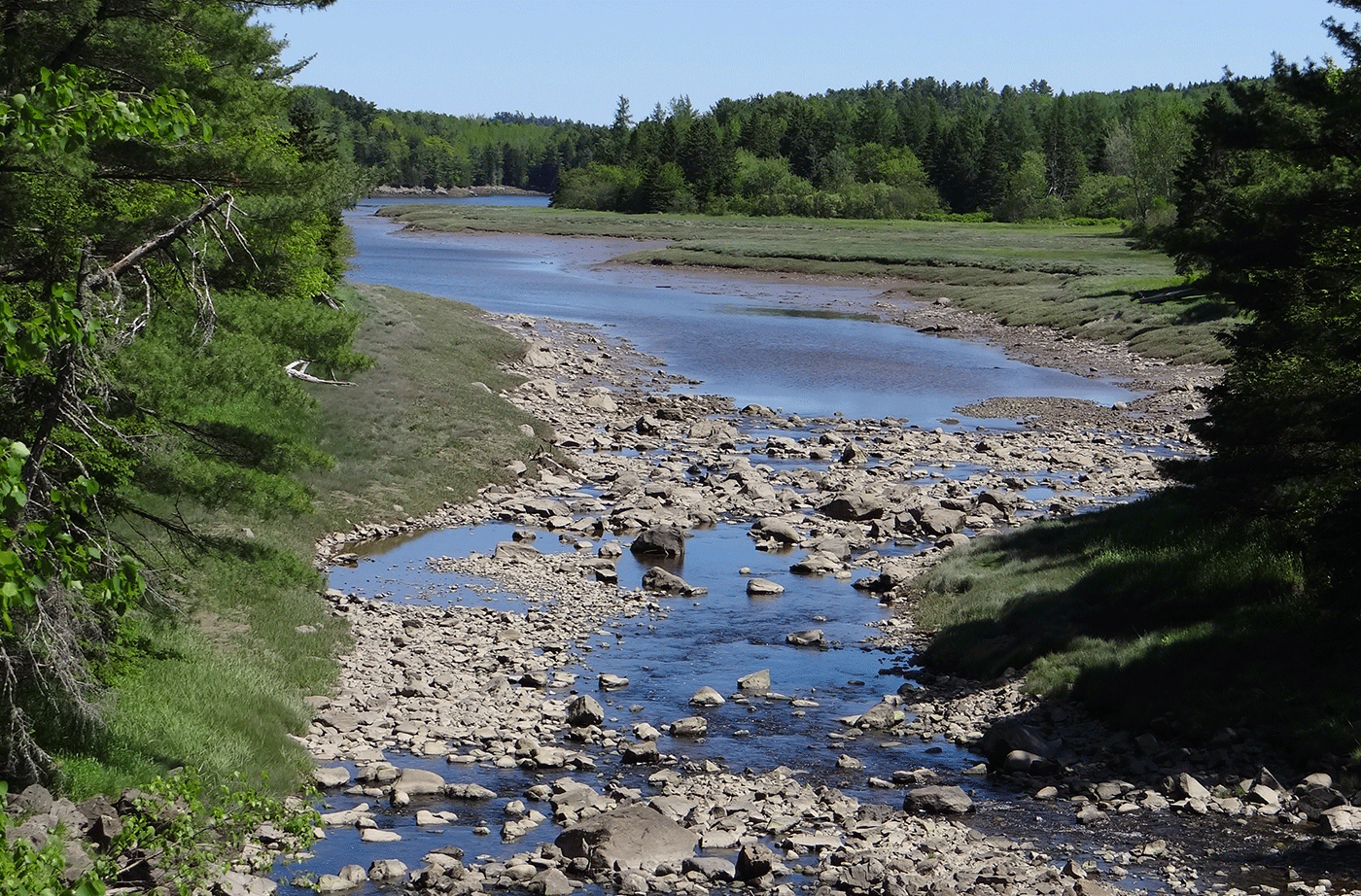
The Dennys River is rich in superlatives. Among all the Downeast salmon rivers that are rated as “outstanding” for their water quality and wildlife values, the Dennys has the richest wildlife, the most diverse riverine and riparian plant communities, and the longest stretch of river without road crossings or camps. Thanks to the efforts of Read More

