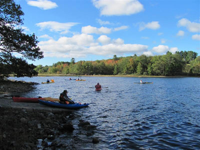
Clary Lake is a popular destination for boaters and anglers. With funds from the Land for Maine’s Future program and the U.S. Fish and Wildlife Service’s Sport Fish Restoration Program, the Maine Department of Inland Fisheries & Wildlife (IF&W) secured funds to acquire a site that provides permanent and safe access for motor boats and Read More
Paddling, Kayaking, and Canoeing
Maine has miles of rivers, thousands of lakes and ponds, and a vast coastline to explore. Grab your kayak or canoe and spend time at any of these locations, paddling around and enjoying Maine’s beautiful outdoors.
Cold Rain Pond
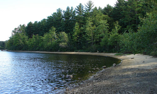
The good water quality of Cold Rain Pond, near Sebago Lake, supports a thriving cold-water fishery. Lying in an increasingly populous area, this water body is remarkably undeveloped. Only one camp fronts on this “great pond” and a conservation easement held by Loon Echo Land Trust protects most of that private property from further development. No Read More
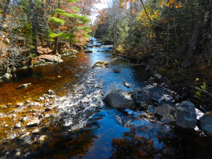
Crooked Farm
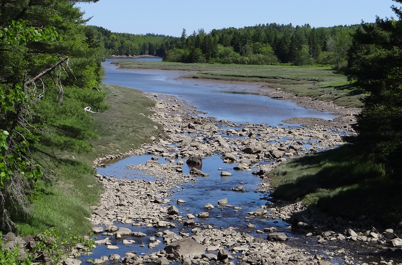
Crooked Farm, lying in a secluded setting along the Pemaquid River, supports an unusual diversity of plants and animals due to varied habitats–from wetlands, fields and forests to high knolls and ravines. Along its 1.27 miles of river frontage, both warm and cold water species of game fish spawn. The wetlands and uplands offer an Read More
Crowley Island
Lying between the West and Indian rivers northwest of Jonesport, Crowley Island is a 700-acre natural oasis for shorebirds and migratory waterfowl. It provides critical habitat to a number of species at risk, including black ducks. Much of the island will be managed to foster its wildlife habitat, thanks to the collective efforts of generous Read More
David Rancourt River Preserve
This 14-acre preserve is owned by the Androscoggin Land Trust and is a component of the Androscoggin Greenway. The property was purchased from the City of Lewiston with Land for Maine’s Future water access funds in 2007. The property contains a walking trail, two beautiful sand beaches along the Androscoggin River, and a scenic overlook. Read More
Dennys River Corridor
The Dennys River is rich in superlatives. Among all the Downeast salmon rivers that are rated as “outstanding” for their water quality and wildlife values, the Dennys has the richest wildlife, the most diverse riverine and riparian plant communities, and the longest stretch of river without road crossings or camps. Thanks to the efforts of Read More
Devil’s Head — St. Croix International Waterway
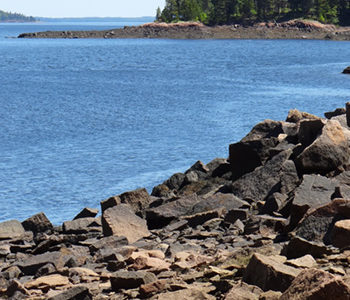
The City of Calais and the St. Croix International Waterway Commission were able to conserve the highest headland in Downeast Maine, Devil’s Head, with significant help from the Land for Maine’s Future program, the Maine Coastal Program, Maine Department of Conservation, Maine Outdoor Heritage Fund and others. Devil’s Head, which towers 340 vertical feet above the St. Read More
Dodge Point
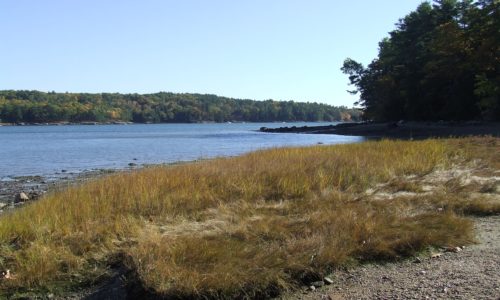
Dodge Point slopes gently down from a 240-foot height of land to the Damariscotta River, where the land drops off precipitously in places–offering views downriver that extend for miles. The property is rich in ecological and historical values as well as scenic beauty. The 508-acre peninsula has old growth trees, several important plant communities, Native Read More
Ducktrap Preserve
The Land for Maine’s Future (LMF) program has helped an ambitious effort to protect all the lands bordering the Ducktrap River, buffering critical salmon spawning and rearing habitat in one of the last eight rivers in Maine with runs of native Atlantic salmon. This land protection project has met with remarkable success, thanks to the Read More