Residents of Machiasport have long considered Pettegrow Beach, a cobble beach on Buck’s Harbor, to be a community resource. The gently sloping beach is ideal for launching small boats, serving the needs of commercial fishermen, anglers, fish farmers, clammers, and recreational boaters. It is the only beach in the area that has sufficiently deep water Read More
Washington County
Pleasant Bay Wildlife Management Area
The Pleasant Bay Wildlife Management Area lies near the town of Addison along the Pleasant River’s east side. The area is known for its expansive, various wildlife habitats and for its tranquil character. The preserve includes more than seven miles of waterfront along Pleasant Bay, more than 1,900 acres of intertidal marshes and mudflats, islands, Read More
Cutler Coast Public Reserved Land
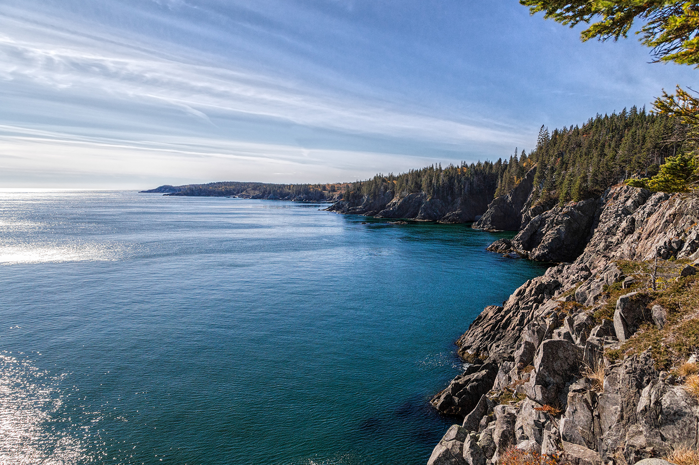
Location: Cutler, 20 miles east of Machias, Washington County Description: The varied landscape of the 12,234-acre Cutler Coast Public Reserved Land unit shifts between peatlands, woodlands, and blueberry barrens along the cliffs of the stunning “Bold Coast,” overlooking the Bay of Fundy. The parcel includes 5,216 acres that are part of the state’s Ecological Reserve System due Read More
Great Heath Public Reserved Land
Location: In Township 18 MD, north of Cherryfield, Washington County Description: The Great Heath is one of the largest peatland systems in Maine. The entirety of the state-owned portion of the Great Heath was designated as an Ecological Reserve in 2001 to protect Maine’s biological diversity, among other purposes. It is an excellent example of a domed Read More
Machias River Corridor Public Reserved Land
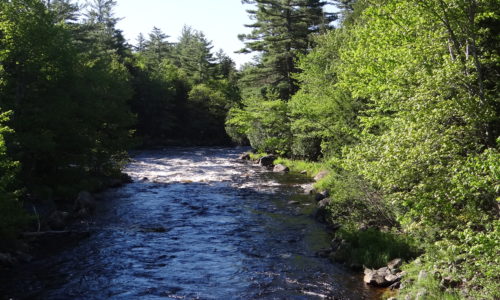
Location: Surrounding the Machias River, Washington County Description: The Machias River Corridor envelopes the Machias River, which features the country’s largest self-sustaining wild Atlantic salmon run. The greater river system also supports a wide array of wading birds, waterfowl, neotropical migrants, and grassland species. The 76-mile Machias River canoe trip is popular with experienced paddlers. Read More
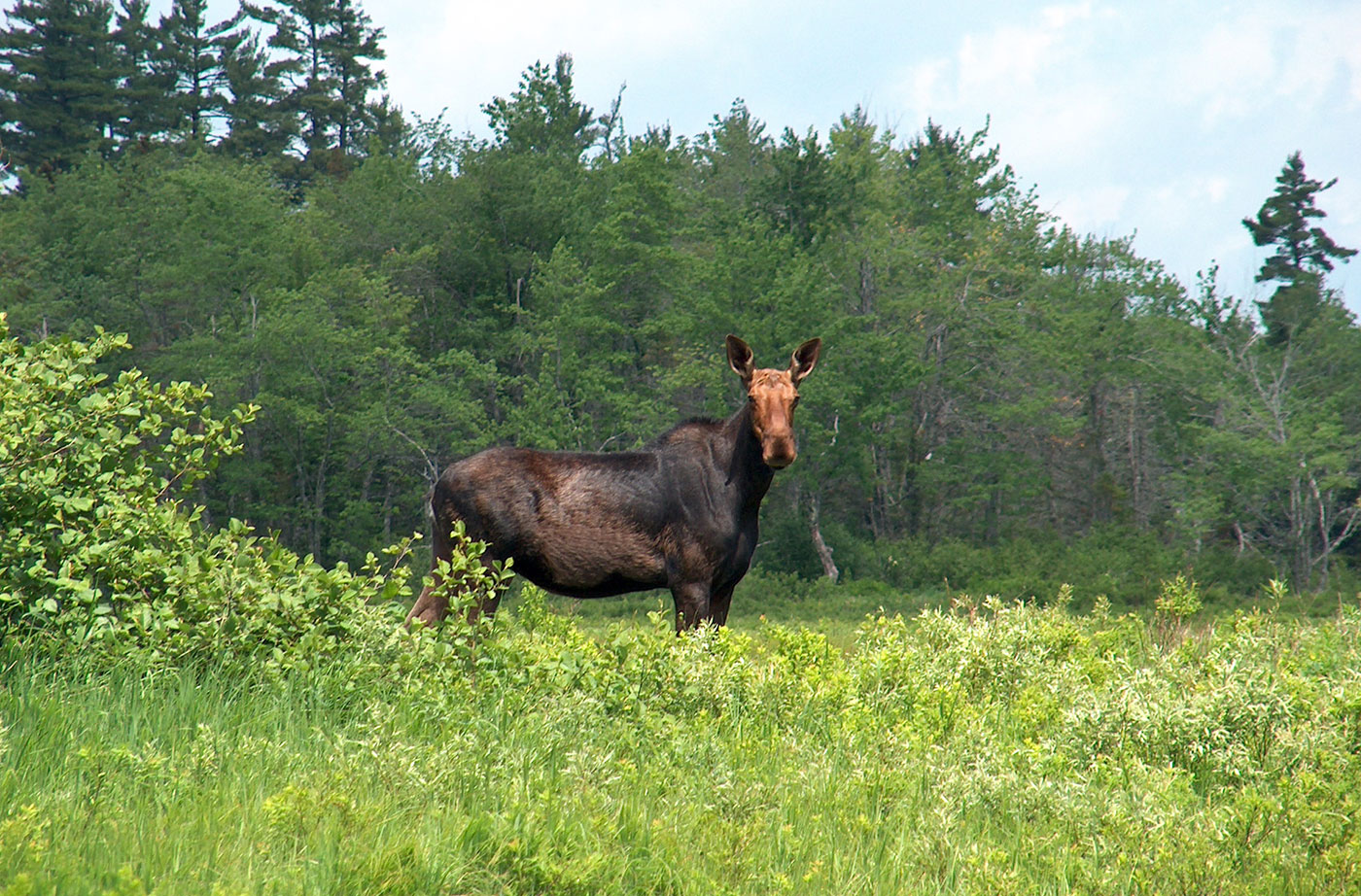
Rocky Lake Public Reserved Land
Location: Near East Machias, Washington County Description: The 11,000-acre Rocky Lake Public Reserved Land unit borders three lakes near East Machias and provides opportunities for boating, camping, and fishing in a wildlife-rich area. The unit is home to nesting Bald Eagles, white-tailed deer, snowshoe hare, bobcat, coyote, black bear, and even fisher. The East Machias River, four Read More
Halifax Island
Chosen By: Emmie Theberge, Outreach Director Location: Outer Englishman Bay, Jonesport, Washington County Description: Halifax Island is an outer island in the Roque Archipelago in Englishman Bay. This publicly owned island is part of the Maine Coastal Islands National Wildlife Refuge managed by the U.S. Fish and Wildlife Service. It’s also along the Maine Island Read More
Pocomoonshine Lake
A Land for Maine’s Future program grant helped the Maine Department of Inland Fisheries & Wildlife acquire land alongside the Town of Princeton’s boat launch on Pocomoonshine Lake. The increased lake frontage will allow for parking and a turnaround at this popular sport fishing site, and will create safer opportunities for swimming (situated farther from Read More
Shackford Head
Shackford Head, with 2.5 miles of undeveloped shoreline marked by pebble beaches, natural arches, and sheltered coves, provides a wonderful vantage point from which to survey the Canadian islands of Campobello and Grand Manan as well as West Quoddy Head. The State’s purchase of this headland in 1989 ensured that the land would never again Read More