Location: Just east of Rangeley, Franklin County Description: The Bald Mountain Public Reserved Land is a haven for outdoor enthusiasts during all four seasons. Hike the trail to the summit of Bald Mountain, particularly beautiful during the fall months, and enjoy the views of the surrounding lakes. In the summer, fishermen take to the unit’s Read More
hunting
Big Spencer Mountain Public Reserved Land
Location: Township X Range 14 WELS and Township 2 Range 13 WELS, east of Moosehead Lake, Piscataquis County Description: The Big Spencer Mountain parcel contains Big Spencer Mountain (3,230 feet), which towers over Spencer Bay on Moosehead Lake’s eastern shore. The mountain’s fire tower was active for nearly 85 years, until 1991. The 4,242-acre parcel is part Read More
Bradley Public Reserved Land
Location: Bradley, Penobscot County Description: The Bradley unit is comprised of four connecting lots totaling 9,277 acres and a separate 229-acre parcel known as the “Kittridge Farm” lot. The unit contains largely wetlands and peatlands, which are home to species of special concern: northern leopard frog, creeper mussel, and sedge wren. Recreational use of the Read More
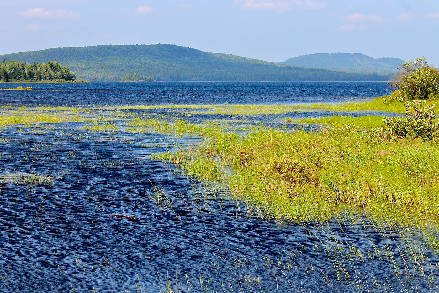
Chamberlain Lake Public Reserved Land/Lock Dam
Location: In and around Township 7, Range 12 WELS, 30 miles northwest of Baxter State Park, Piscataquis County Description: Chamberlain Lake Public Reserved Land is a group of parcels along the large lakes that form the southern end of the Allagash Wilderness Waterway. The parcels include the 2,890-acre Chamberlain Lake Ecological Reserve. Ecological Reserves serve to protect Read More
Cutler Coast Public Reserved Land
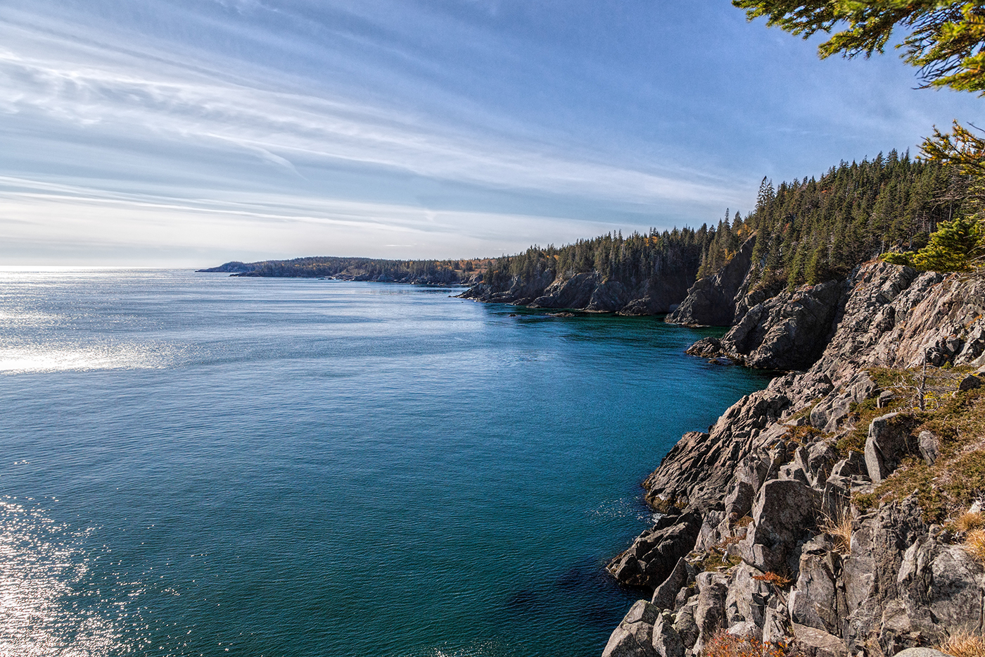
Location: Cutler, 20 miles east of Machias, Washington County Description: The varied landscape of the 12,234-acre Cutler Coast Public Reserved Land unit shifts between peatlands, woodlands, and blueberry barrens along the cliffs of the stunning “Bold Coast,” overlooking the Bay of Fundy. The parcel includes 5,216 acres that are part of the state’s Ecological Reserve System due Read More
Dead River Public Reserved Land
Location: In and around Dead River Township, on the northern shore of Flagstaff Lake, Somerset County Description: The Dead River Public Reserved Land parcel is located on the northern shores of Flagstaff Lake. The parcel contains a popular fishing and camping spot called The Big Eddy below Long Falls Dam, as well as a number Read More
Deboullie Public Reserved Land
Location: Township 15, Range 9 WELS, about 30 miles southwest of Fort Kent, Aroostook County Description: Deboullie is the French word for “rock slide.” The 21,871-acre Deboullie Public Reserved Land unit is named for the rock slides found on the low, rugged mountains located on the southeastern corner quarter of the unit. Hikers enjoy exploring Deboullie Mountain’s historic Read More
Dodge Point Public Reserved Land
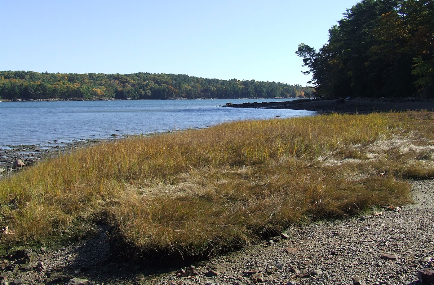
Location: Near Newcastle, in Lincoln County Description: The Dodge Point Public Reserved Land unit is 521 acres that includes more than 8,000 feet of gorgeous riverfront on the Damariscotta River. This land includes sandy beaches, ponds, and streams. Visitors enjoy the different trails on the unit, including the Shore Trail, which provides views of the Read More
Eagle Lake Public Reserved Land
Location: Township 16, Range 6 WELS, next to the town of Eagle Lake, about 15 miles south of Fort Kent, Aroostook County Description: The Eagle Lake Public Reserved Land unit spans 24,083 acres on the eastern half of Eagle Lake, an expansive body of water that is enjoyed by pleasure boaters, anglers, and campers. The Read More