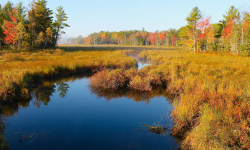
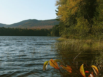
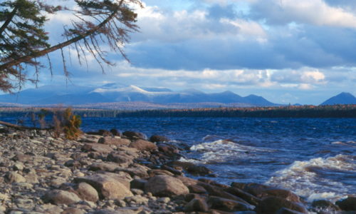
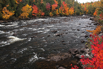
Many thanks to long-time NRCM member David Preston of South China, Maine, for these beautiful fall photos! To see past My Maine This Week photos, or to submit a photo of your own to be featured on our website, please visit www.nrcm.org/our-maine/my-maine-this-week.
Bradley Public Reserved Land
Location: Bradley, Penobscot County Description: The Bradley unit is comprised of four connecting lots totaling 9,277 acres and a separate 229-acre parcel known as the “Kittridge Farm” lot. The unit contains largely wetlands and peatlands, which are home to species of special concern: northern leopard frog, creeper mussel, and sedge wren. Recreational use of the Read More
Chain of Ponds Public Reserved Land
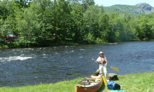
Location: Ten miles northeast of Eustis, Franklin County Description: The Chain of Ponds Public Reserved Land parcel is comprised of four ponds. Natanis, Bog, Long, and Lower ponds are all connected via channels, creating the “chain.” Visitors to the ponds have the opportunity to recreate on the ponds, including camping on the shores and observing Read More
Chamberlain Lake Public Reserved Land/Lock Dam
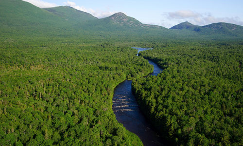
Location: In and around Township 7, Range 12 WELS, 30 miles northwest of Baxter State Park, Piscataquis County Description: Chamberlain Lake Public Reserved Land is a group of parcels along the large lakes that form the southern end of the Allagash Wilderness Waterway. The parcels include the 2,890-acre Chamberlain Lake Ecological Reserve. Ecological Reserves serve to protect Read More
Experiences on the National Monument Land
Many people have shared their experiences of visiting the Katahdin Woods and Waters National Monument lands with us. Some visited before the designation of the Monument on August 24, 2016, and many more have been there since. Below are some blog posts, videos, and more from people who have experienced this land first-hand. If you Read More
Economic Studies Related to National Parks
Katahdin Woods and Waters National Monument was established on August 24, 2016, in conjunction with the 100th anniversary of the National Park Service. Prior to the designation of Katahdin Woods and Waters, Elliotsville Plantation Inc. (EPI) commissioned studies to determine the likely economic benefits a national park and national recreation area would bring to Maine’s Read More
Cutler Coast Public Reserved Land
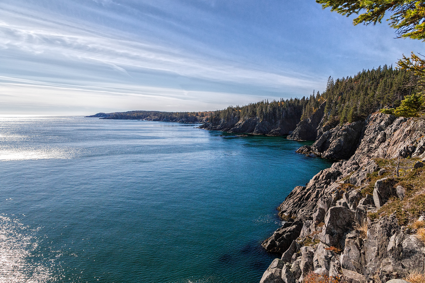
Location: Cutler, 20 miles east of Machias, Washington County Description: The varied landscape of the 12,234-acre Cutler Coast Public Reserved Land unit shifts between peatlands, woodlands, and blueberry barrens along the cliffs of the stunning “Bold Coast,” overlooking the Bay of Fundy. The parcel includes 5,216 acres that are part of the state’s Ecological Reserve System due Read More
Dead River Public Reserved Land
Location: In and around Dead River Township, on the northern shore of Flagstaff Lake, Somerset County Description: The Dead River Public Reserved Land parcel is located on the northern shores of Flagstaff Lake. The parcel contains a popular fishing and camping spot called The Big Eddy below Long Falls Dam, as well as a number Read More
NRCM Leadership, Then and Now

By NRCM Board President Kate Rush and founding NRCM Board member Bill Townsend One afternoon this summer, I had coffee with Bill Townsend, a founding Board member of the Natural Resources Council of Maine. Serving as the second President of the Board, Bill has served as a board member or advisor for NRCM since 1960, Read More