Location: Township 15, Range 9 WELS, about 30 miles southwest of Fort Kent, Aroostook County Description: Deboullie is the French word for “rock slide.” The 21,871-acre Deboullie Public Reserved Land unit is named for the rock slides found on the low, rugged mountains located on the southeastern corner quarter of the unit. Hikers enjoy exploring Deboullie Mountain’s historic Read More
Bird Watching
Maine is fortunate to have an array of habitats that are great places to view a variety of birds, including North Woods specialties that folks travel from across Maine and beyond in hopes of finding. Grab your binoculars and favorite bird guide, then head out to view some of Maine's beautiful birds at these locations!
Dodge Point Public Reserved Land
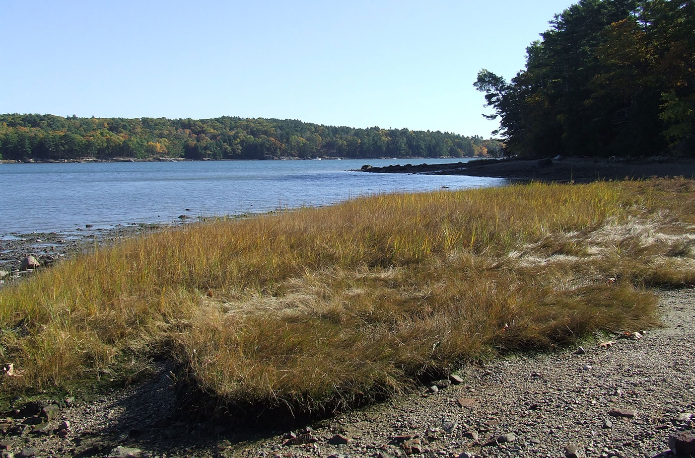
Location: Near Newcastle, in Lincoln County Description: The Dodge Point Public Reserved Land unit is 521 acres that includes more than 8,000 feet of gorgeous riverfront on the Damariscotta River. This land includes sandy beaches, ponds, and streams. Visitors enjoy the different trails on the unit, including the Shore Trail, which provides views of the Read More
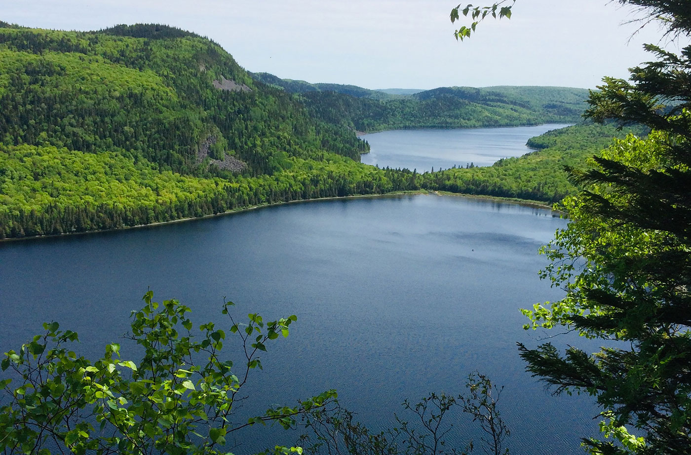
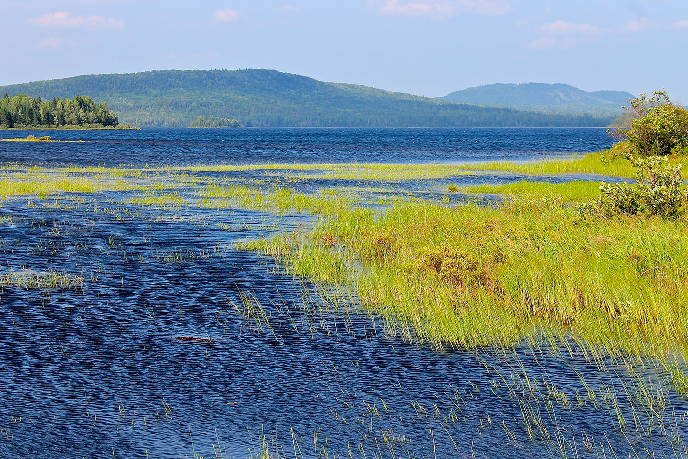
Donnell Pond Public Reserved Land
Location: In and around Township 10 SD, 12 miles east of Ellsworth, Hancock County Description: The Donnell Pond Public Reserved Land unit includes mountains, pristine lakes, and remote ponds all spread out over 14,000 acres in eastern Maine. There are sites for camping along the pond’s beaches, and great options for those who enjoy paddling. Read More
Duck Lake Public Reserved Land
Location: Just south of Lakeville, northern Hancock County Description: The Duck Lake unit is comprised of more than 27,000 acres, just to the east of Grand Lake Stream. The unit contains Duck Lake and Gassahias Lake, which offer fishing, boating, swimming, camping, and snowmobiling opportunities. An Ecological Reserve has been established on the eastern portion of the unit Read More
Eagle Lake Public Reserved Land
Location: Township 16, Range 6 WELS, next to the town of Eagle Lake, about 15 miles south of Fort Kent, Aroostook County Description: The Eagle Lake Public Reserved Land unit spans 24,083 acres on the eastern half of Eagle Lake, an expansive body of water that is enjoyed by pleasure boaters, anglers, and campers. The Read More
Holeb Public Reserved Land
Location: 25 miles east of Rockwood, Somerset County Description: The Holeb Public Reserved Land unit is comprised of 20,000 acres of land in western Maine. Many visitors enjoy the popular three-day canoe trip through Attean Pond and the Moose River. This trip includes both Class I and II rapids and a waterfall. Visitors are often Read More
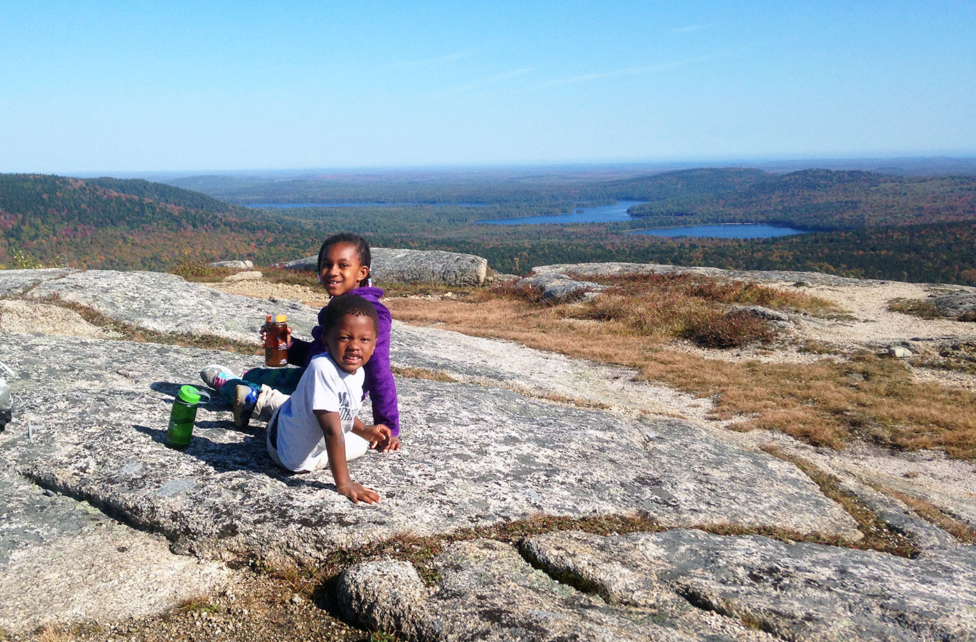
Kennebec Highlands Public Reserved Land
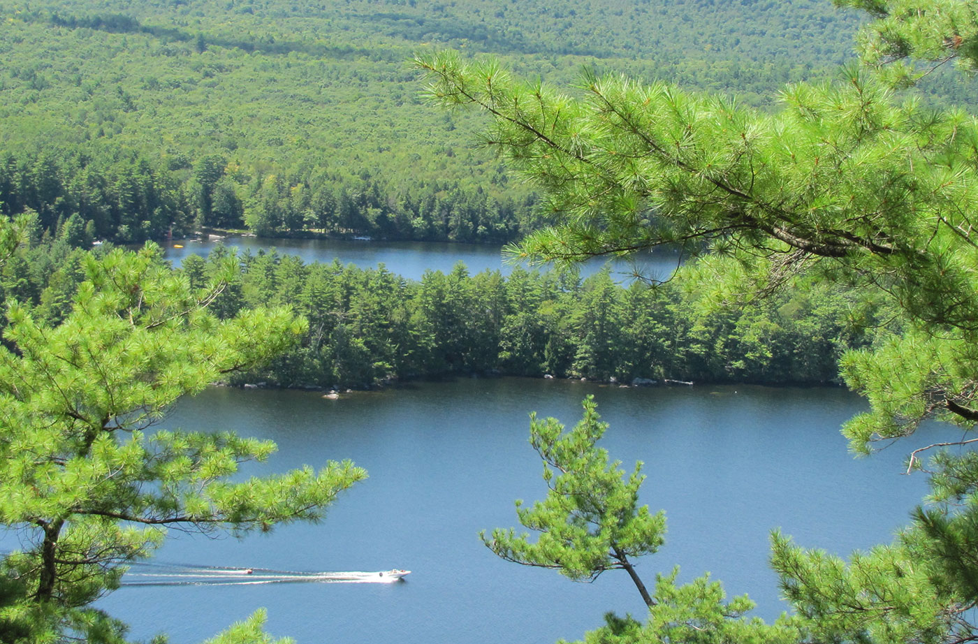
Location: 10 miles north of Belgrade, Kennebec County Description: At just over 6,500 acres, the Kennebec Highlands Public Reserved Land unit is the largest contiguous area of conserved land in Central Maine. The unit includes the summit of McGaffey Mountain, the tallest peak in Kennebec County, along with two other hiking trails, both of which Read More
Machias River Corridor Public Reserved Land
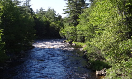
Location: Surrounding the Machias River, Washington County Description: The Machias River Corridor envelopes the Machias River, which features the country’s largest self-sustaining wild Atlantic salmon run. The greater river system also supports a wide array of wading birds, waterfowl, neotropical migrants, and grassland species. The 76-mile Machias River canoe trip is popular with experienced paddlers. Read More
Mahoosuc Public Reserved Land
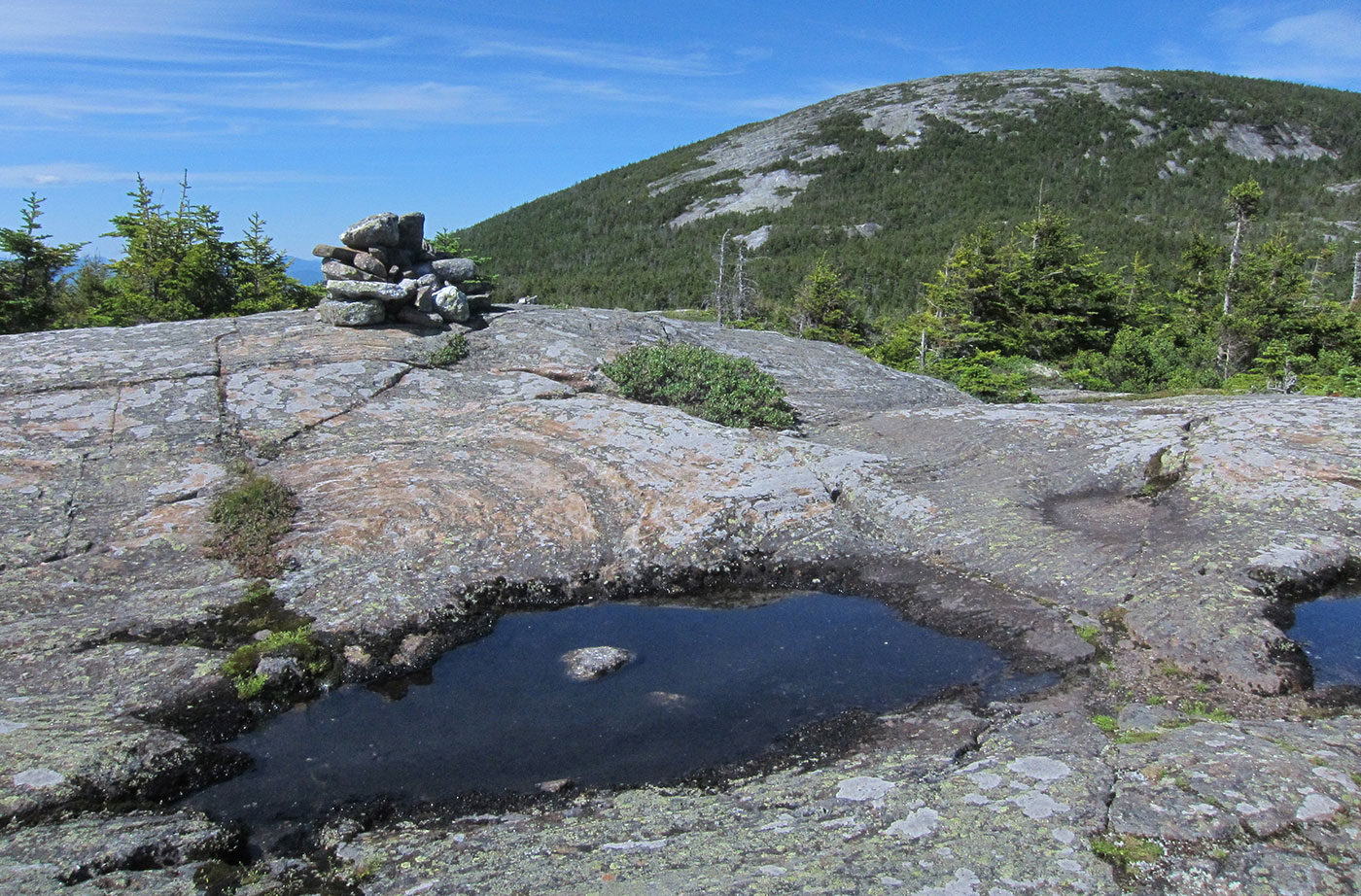
Location: West of Newry, Oxford County Description: The Mahoosuc Public Reserved Land unit includes the entire Mahoosuc Range, which features some of Maine’s most challenging and beautiful mountains, including the 4,180-foot Old Speck. A receding glacier 12,000 years ago created the Mahoosuc Range and what is commonly known to be 12 of the most difficult miles of Read More